0

I am trying to measure distance between points in ArcGIS Pro. Specifically, I want to connect a series of points that have location, time-stamp (every 2-3 seconds), and ID columns. My dataset is large so I was hoping there would be a way to tell GIS to create lines between the points based on the ID and the time stamp features instead of having to manually do this or subset my dataset. Any ideas? enter image description here
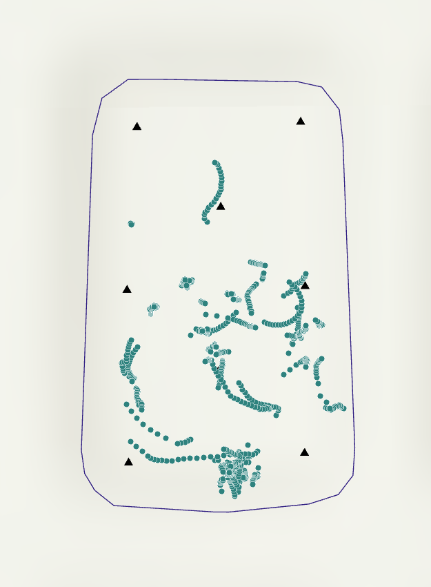
Example of points

2
  • 2
    From the screenshot above? How would you expect you lines to look, can you kindly share the expected resulting screenshot drawn on paint, along with was schema does this data has? And if its simply just lines, use this tool in ArcGIS Pro pro.arcgis.com/en/pro-app/latest/tool-reference/data-management/… Commented Jul 27 at 11:46
  • @YogeshChavan, I expect the lines to connect points for a given ID in chronological order. The 'points to line' tool worked great. When I use the tool, it creates lines between all my points in order of how they appear on my layer attribute table. However, at some point, the tool creates a line between points of different IDs. For example, the last location recorded for fish ID 1 connects to the first location recorded for fish ID 2. I don't really want this. I could go through and manually remove these improperly connecting lines, but if there's an automated way to do it, I'd rather do that.
    – anzac21
    Commented Jul 29 at 14:25

0

Your Answer

By clicking “Post Your Answer”, you agree to our terms of service and acknowledge you have read our privacy policy.

Browse other questions tagged or ask your own question.