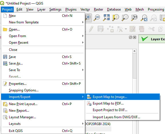
I was asked to provide a georeferenced cutout of an orthophoto from a WMS and I am using QGIS to do it. I am exporting the image with the option "Append georeference information (embedded or via world file)" selected. Is this the right way to do it?
1 Answer
Yes, your option is correct.
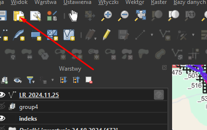
Second is to make layout and what you need Legend and North sign for example and export it with worldfile.
Third option is to use processing rasterize chose range and export tif
Perhabs there are more options to do it.


