10

I have a GPS track in GPX format available from a recent bike tour and I need and want to do some analysis on the tracks. I'm wondering whether there is any way to transform the GPX data into an elevation model/graph like this (blue):
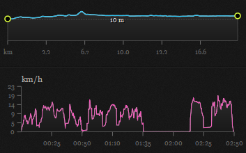
enter image description here

I created this image above using the german platform komoot.de where you can upload your GPX tracks but it's not customizable or in any way editable/scalable/exportable.

Are there any tools to achieve this? (The pink speed graph is optional.)

3
  • Example Snowdon Wales, bikehike.co.uk/mapview.php?lnk=http://uk3peaks.com/snowdon/… substitute with your gpx file. Click Elevation or Gradient Option.
    – Mapperz
    Commented Apr 24, 2013 at 16:02
  • @Mapperz, that is a great link and interface!
    – Aaron
    Commented Apr 24, 2013 at 16:11
  • 1
    Tip with bikehike you can scroll across the Elevation/Gradient Chart with the mouse cursor that position is then shown on the map interactively.
    – Mapperz
    Commented Apr 24, 2013 at 16:16

3 Answers 3

4

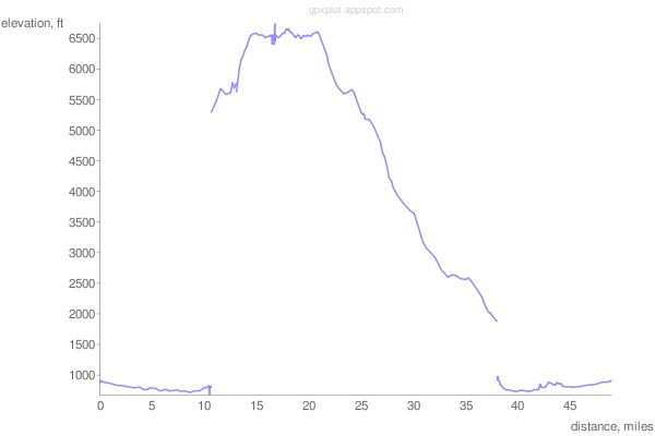
For a Python approach, try gpxplot available from code.google.com. The script is available here and the online interface is located here.

enter image description here

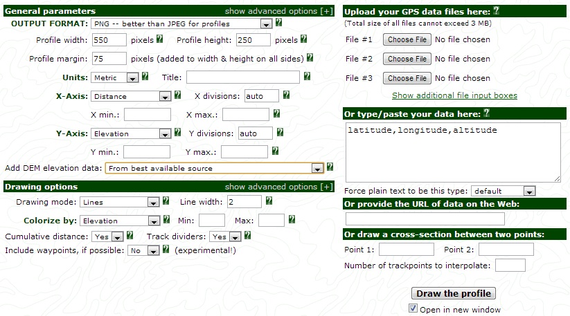
Try using GPS Visualizer. The profile tool looks like what you may be interested in.

enter image description here

Or, Maplorer: View GPX file on map + elevation

3

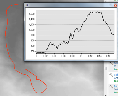
You can do this with ArcGIS 10.1.

  • run GPX to Features tool (converts GPX files to points features class)
  • run Points to Line tool (converts points FC to line FC)
  • run 3D Analyst tool: Stack Profile (creates a table of elevation AND with the optional output graph, provides the profile as a graph)

So you'll need ArcMap 10.1 basic /w 3D Analyst.enter image description here

3

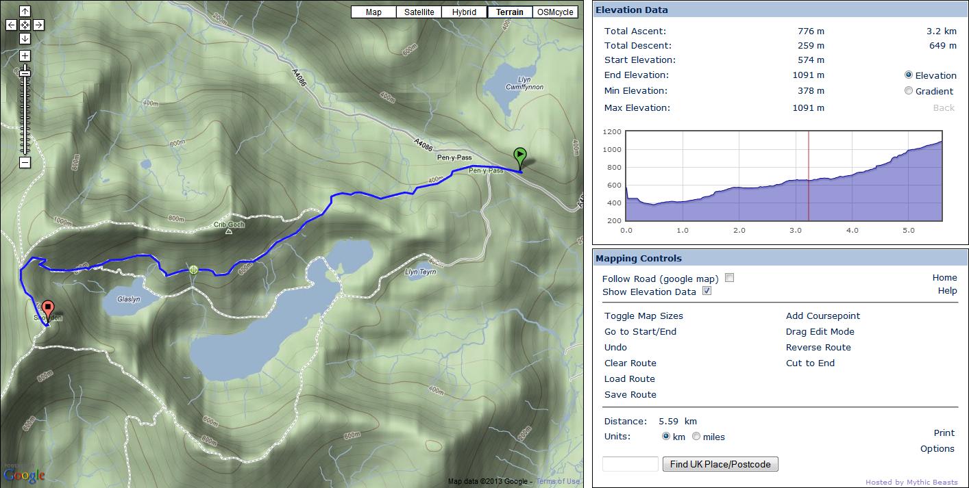
From the comment earlier Bike hike has the ability to parse gpx from a web location and renders this on the google map but also creates Elevation and Gradient profiles:

Miles and Kilometers supported

Other options:

Add Course-point
Drag edit mode
Reverse the Route
Map Size

enter image description here

This is an Example of a trail up Snowdon Mountain in North Wales.

http://www.bikehike.co.uk/mapview.php?lnk=http://uk3peaks.com/snowdon/pygtrack.gpx

1
  • What do you mean, "drag edit"? I can seem to drag neither waypoints, nor the route itself... Also, there doesn't seem to be a way to remove a waypoint other than refreshing the page, resetting it to the initial view (rather poor user experience). Commented Mar 9, 2017 at 9:34

Your Answer

By clicking “Post Your Answer”, you agree to our terms of service and acknowledge you have read our privacy policy.

Not the answer you're looking for? Browse other questions tagged or ask your own question.