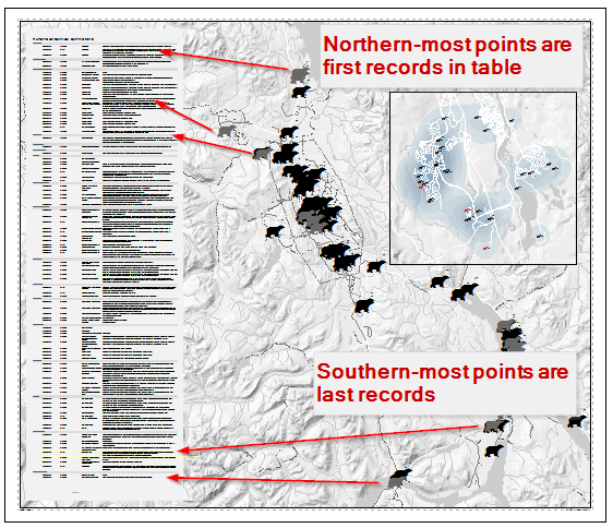
Here's in interesting challenge: I need to embed a table in a map layout so that the records in the table are sorted according to their geographic position on the ground. For example, in a north-to-top map, the northern-most feature (points in this case) should be first record, and the southern-most the last.
The map composition is in ArcGIS, but I'm willing to use gdal/ogr, qgis, etc. for the table sorting if need be.
To expand this question beyond my immediate use case and thereby make it more useful to the community, a robust solution would allow choosing other geographic sorts, such as west to east or inner to outer.

