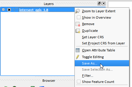
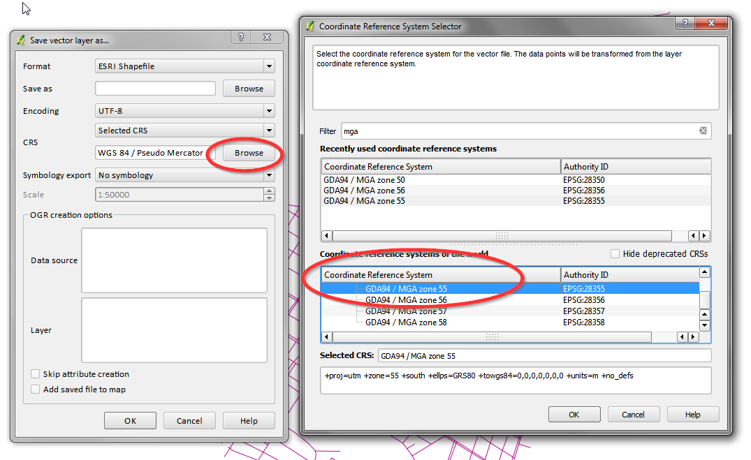
I am looking for help on how to set up QGIS for GDA 94 zone 55. (i.e. all the relevant settings etc.)[1.8 in lieu of 2.0]
Am working off Garmin GPS/GPX data in GDA/UTM format (I access this data in QGIS usually after dumping it in Garmin Base Camp) and want to finalise maps in the GDA 94 zone 55 CRS. I am using other ESRI/shapefile layers/data which are in GDA 94 zone 55.
Currently I am having issues with measure/buffers/grids/scales etc. i.e. to make a 50m buffer on a layer I have to enter 50m as 0.0005 as buffer distance. i.e. can't make grid at all in this CRS
I do not have formal training in GIS and am currently learning QGIS "on the fly".


