How to return raster values based on polygon (shapefile) boundaries in QGIS?
Is this an elementary question, because I am finding it hard....... Ideally I would like a neat workflow as I am likely to repeat the task, even if it includes using GRASS.
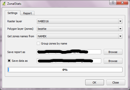
I want to take a remote sensed raster ( Landsat ), and load it up with a shapefile containing irregular polygons and return the avg, max min of the raster values for each polygon.
Ideally I would also like to clip out the polygons as separate files for each polygon, perhaps that is another post, but probably it is a related process, which I haven't been able to tackle yet.
And is QGIS the right platform to be tackling this in? I have loaded up the RASTERCALC Plugin which does give better functionality than the default raster calculator, so have made a little progress there.
Any thoughts appreciated

