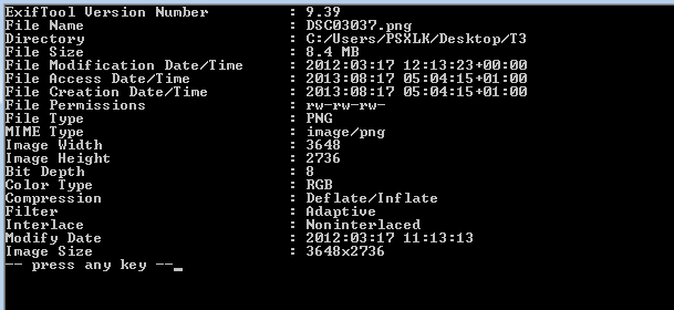
I am trying to get the GPS data from several hundred PNG photographs for display in Q GIS (so need to access the EXIF data).
The online and downloadable viewers I have tried haven't yielded much information:

Do the photographs not contain any GPS info ( I am told that they do) or is there a different way of extracting the information?
