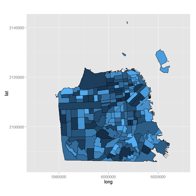
This quest is an extention of a question that I made earlier today but since it's migration to GIS I haven't been able to comment on my older post. My earlier post is : Mapping Kansas City based on X and Y Coordinates in R
I have found a more specific coordinate system known as STFID. From what I have researched about STFID the larger the number the more specific of a locale the point equals. Each STFID contains 15 digits, which I believe is sufficient enough to account for each block in Kansas City, MO.
Is there a way that I can map information in R when using this STFID value?

