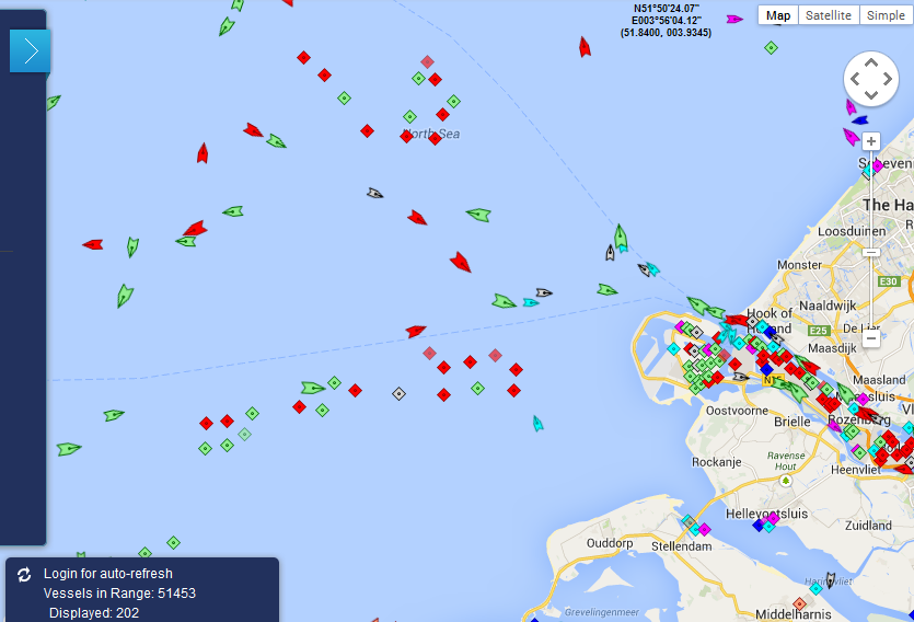
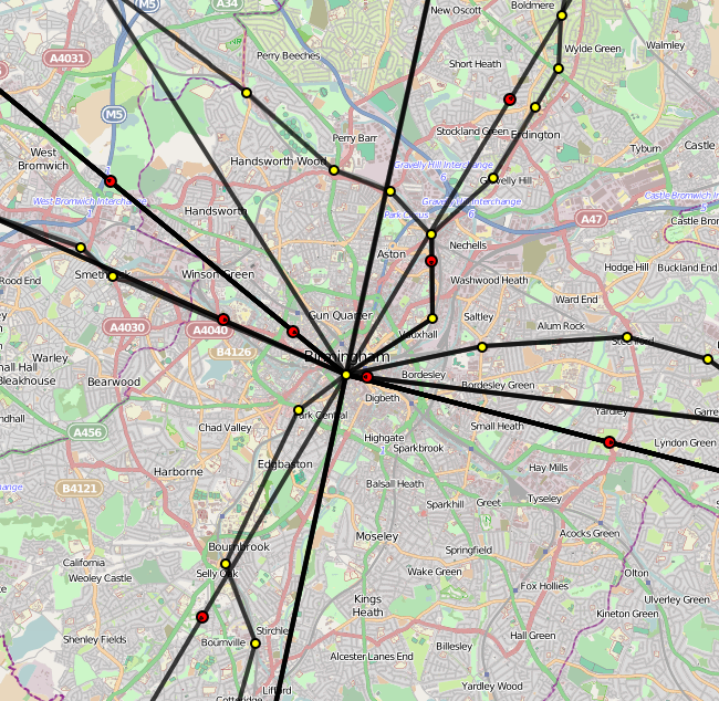
Nowadays all I see when I explore more about web gis applications are some examples of interactive maps which are actually not so 'dynamic' as they are called. It's usually just simple interactive map with few base layers and overlays with markers and popups on click. If they are little better then they offer you some kind of filtering and querying the data.
It's good way to start learning how to develop web gis applications but what about real time web gis applications?
It looks like very interesting field and more and more possible with new frameworks and technologies. E.g. let's say that you want to have map which shows you movement of dolphins which are tagged with satellite chip and that chip sends location data to web server (e.g. each 20sec) and then it's display on map in real-time? That's the first thing that come to my mind but there are hundreds of possible examples. I'm really struggling to find good examples of such projects.


