3

I'm trying to use Toblers's Hiking equation to determine economical backgrounds of some hillforts. The equation is anisotropic which means that the speed of movement that it calculates differs whether you are moving up or down the same slope. For exampe, moving downwards on 5° slope is faster than moving upwards the same slope or even moving on the flat terrain. And here is my dilemma: ArcMap's Slope only calculates positive values for the inclination so as I understand using Slope in the equation is useless.

I also tried the Path Distance Tool, without using any cost raster, only DEM as Surface Raster and Vertical Raster in the Vertical Factor Parameters, as Vertical Factor I used table downloaded here. This table apparently defines the vertical-factor graph but I really don't know (and would really like to know) how is the table used in this method. Is it possible that this method actually calculates also negative slopes as the tool requires starting point(s) for the calculation and therefore knows the direction of the slopes in relation to the starting point(s)? Or the tool calculates the "ordinary" Slope and then reclassifies it according to the table?

I hope someone knows the answer or can at least direct me to correct section of this forum.

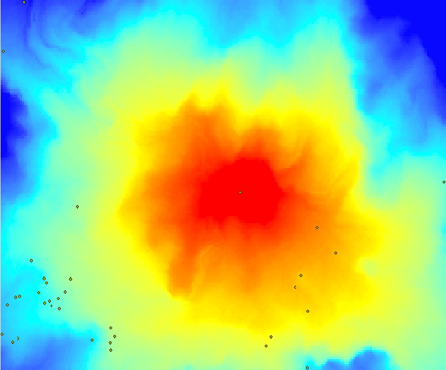
Here is the image of how the result should look like: enter image description here
3
  • Possible duplicate of How do I find least cost path over a DEM based on slope magnitude and direction??
    – Jens
    Commented Apr 2, 2014 at 10:23
  • Well not exacly. While I figured out the Path distance tool the Tobler's equation usage together with result of Slope Tool in raster caculator is questionable.
    – Alešinar
    Commented Apr 2, 2014 at 14:42
  • Thank you everyone for the input and comments. If I understand correctly, Alešinar, you are pointing out that it is problematic to derive cost values from a vertical factor table using the Path Distance tool if your input cost is based on a raster expressing only positive slope values. In other words, for the Path Distance tool to derive cost values, the slope values, which are only positive, must be converted or derived. The slope tool generates only positive values. However, the Path Distance tool acknowledges both positive and negative slope values. The Path Distance tool does take directio Commented Apr 12, 2015 at 22:27

2 Answers 2

5

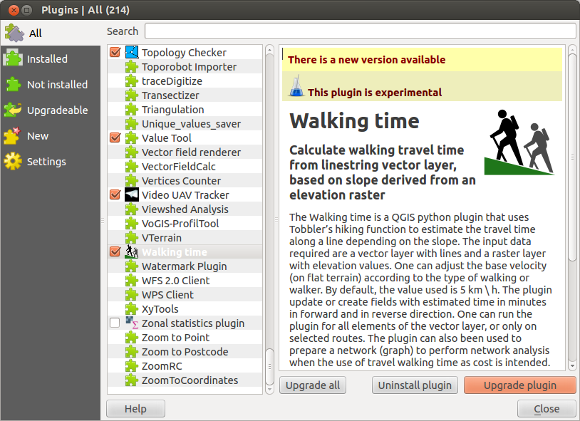
There is a python plugin for QGIS to calculate Tobler's Hiking function. It's called Walking times and you can install it using the qgis oficial repository.

enter image description here

The plugin page explains how it works:

http://sigsemgrilhetas.wordpress.com/plugins-qgis/walking-time/

And, since we are talking about open source, you can see and download all the code here:

https://github.com/SrNetoChan/WalkingTime

The python code should no be difficult to adapt to ArcPy.

3
  • 2
    Thanks for this answer but as I can understand from the linked page the plugin calculates the time along the input path. What I am looking for is time in any direction from the start point as is on this page, second image. The comment of the image states that the distance is anisotropic but as I said in my question if the slope used in the calculation is ordianry ArcMap slope than this can not be truth. Also I would like to cmplete this task in ArcMap 10.1. Thanks again.
    – Alešinar
    Commented Apr 2, 2014 at 9:19
  • 1
    You are right, the plugin does not answer your question then. May I suggest that you update your question with the image and the link? It is a rather interesting question. Commented Apr 2, 2014 at 9:45
  • 3
    Detailed reading of the How the horizontal and vertical factors affect path distance revealed, that the Path Distance Tool is the right tool to do it. The elevation change and slope is calculated on a "from" cell and "to" cell basis and therefore present also the negative values of moving down the slope. Those are then weighted according to the table. However the use of the Tobler's equation and slope produced by the Slope tool is still under question.
    – Alešinar
    Commented Apr 2, 2014 at 10:00
1

I encountered this same issue while working on my thesis, and was able to adapt an existing tutorial to the tools available in ArcMap 10.0.

I recently added screenshots and other information to clarify, so I feel it is pretty straightforward: http://kaitlinyanchar.com/arcgis-tutorial-toblers-hiking-function/

I am the author of this website.

2
  • 1
    Thank you: we appreciate the reference. However, links rot: we lose lots of questions and answers whose meaning relies on a link. So please at least summarize your answer so that it can be understood by itself.
    – whuber
    Commented Apr 10, 2015 at 18:05
  • 1
    Thank you Kaitlin for your effort. However as I said in one of the previous comments: How can the anisotropy be implemented if the values of the slopes in the slope raster are always only positive?
    – Alešinar
    Commented Apr 11, 2015 at 11:34

Your Answer

By clicking “Post Your Answer”, you agree to our terms of service and acknowledge you have read our privacy policy.

Not the answer you're looking for? Browse other questions tagged or ask your own question.