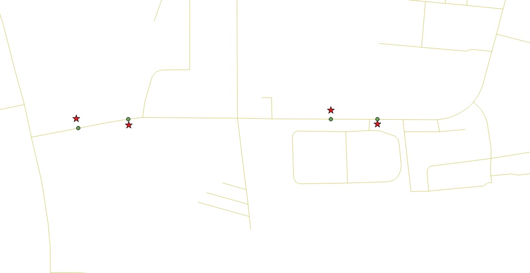
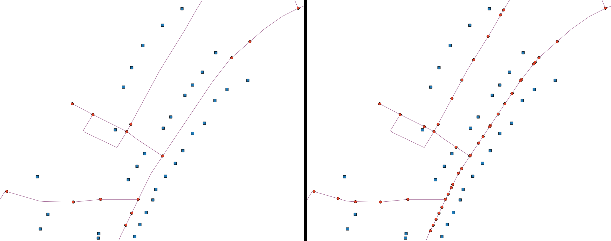
This is my full solution. It involves a sort of a hack to get the splitting done: I get the points on the lines (ways, to use OSM terminology) using ST_ClosestPoint, and then buffer them by a very small distance to get the splitting to actually work. Otherwise imprecision / rounding errors were preventing the splitting.
This has the problem that it generates two splits on each line per point (because of the buffering). For my use this was fine, as later I routed between the splitting points nearest to the original points, which were outside the line, and it could be either of the two splitting points of the line-buffer intersection.
I started by downloading OSM data and impoting it into Postgres:
CITY="MY_CITY"
BBOX="-46.6003,-23.7362,-46.4806,-23.5965"
wget --progress=dot:mega -O "$CITY.osm" "http://www.overpass-api.de/api/xapi?*[bbox=${BBOX}][@meta]"

# create database
createdb my_database
# add extensions
psql -d my_database -c "CREATE EXTENSION postgis;"
psql -d my_database -c "CREATE EXTENSION pgrouting;"

# import osm data to postgres database
osm2pgrouting \
    -f MY_CITY.osm \
    -d my_database \
    -U user

# load points into db
shp2pgsql -I -s 4326 points_to_split_ways.shp public.points_to_split_ways | psql -d my_database
Splitting the ways using a buffer:
WITH pts_ways AS (
  -- get nearest way for each point we want to split the ways by
  SELECT s.gid AS pt_id, ws.gid AS way_gid, s.geom AS pt_geom, ws.the_geom AS way_geom FROM points_to_split_ways s
  CROSS JOIN LATERAL
  (
    SELECT w.gid, w.the_geom
    FROM ways w
    ORDER BY s.geom <-> w.the_geom LIMIT 1
  ) AS ws
), pts_on_ways AS (
  -- "move" these points to be on top of the ways
  SELECT pt_id, way_gid, ST_ClosestPoint(way_geom, pt_geom) as geom
  FROM pts_ways
), ways_without_pts AS (
  -- get the ways that don't have any points on them
  SELECT the_geom as the_geom, gid as way_gid FROM ways
  WHERE gid NOT IN (SELECT way_gid FROM pts_ways)
)
SELECT
  way_gid as old_id,
  -- we need to build a new unique ID, because split ways will share the old ID
  row_number() over(order by way_gid) as gid,
  -- this is the split way geometry
  the_geom
FROM (
  SELECT
    way_gid,
    -- split the ways and dump into indiviudal segments
    (ST_Dump(ST_Split(line_geom, pt_geom))).geom AS the_geom
  FROM (
    (SELECT the_geom as line_geom, gid FROM ways) AS lines
    LEFT JOIN
    -- HACK: use a buffer to fix imprecisions / rounding errors
    -- this will generate one extra splitting per point (each buffer will intersect each way twice)
    -- but it's ok for our purposes
    -- also, collect them grouped by the way to handle cases where there are multiple points on the same way
    (SELECT ST_Collect(ST_Buffer(geom, 0.000001)) as pt_geom, way_gid FROM pts_on_ways GROUP BY way_gid) AS pts
    ON lines.gid = pts.way_gid
  ) AS tmp1
  -- union the ways without points, otherwise you'd get only the ones that were split
  UNION ALL
  SELECT way_gid, the_geom FROM ways_without_pts
) AS tmp2;
Create the topology needed for routing with pgrouting:
SELECT UpdateGeometrySRID('ways_split','the_geom', 4326);
SELECT find_srid('public','ways_split','the_geom');
ALTER TABLE ways_split ADD COLUMN "source" integer;
ALTER TABLE ways_split ADD COLUMN "target" integer;
ALTER TABLE ways_split ADD PRIMARY KEY (gid);
ALTER TABLE ways_split ADD CONSTRAINT ways_source_fkey FOREIGN KEY (source) REFERENCES ways_split_vertices_pgr (id) MATCH FULL;
ALTER TABLE ways_split ADD CONSTRAINT ways_target_fkey FOREIGN KEY (target) REFERENCES ways_split_vertices_pgr (id) MATCH FULL;
SELECT pgr_createTopology('ways_split', 0.00001, 'the_geom', 'gid', clean := TRUE);
SELECT pgr_analyzeGraph('ways_split', 0.000001, the_geom := 'the_geom', id := 'gid');


