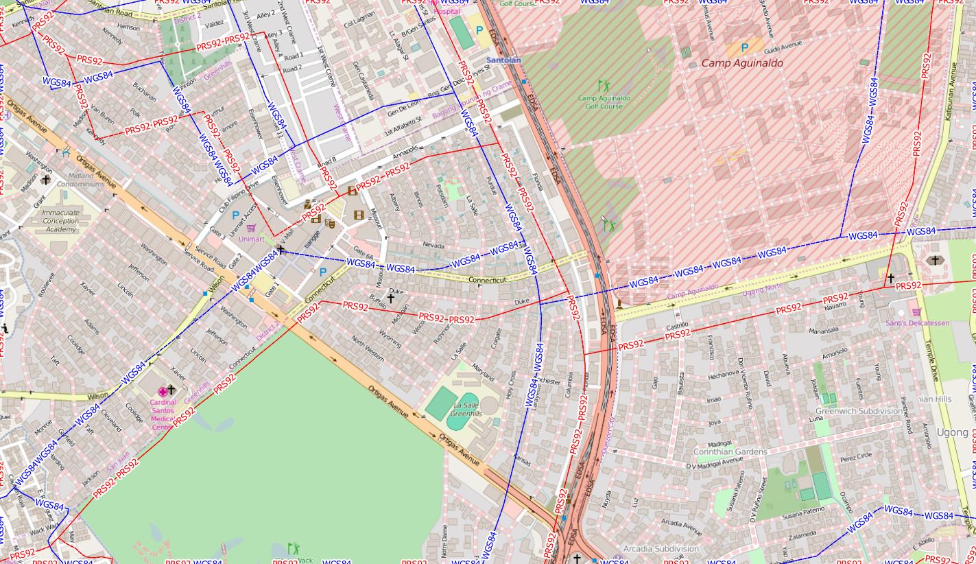
Comparing the GADM dataset for the phillipines with an Openstreetmap background, I agree that the GADM dataset is totally off. Trying the local datum of Luzon 1911 or PRS92 does not fit better:
Luzon and PRS92 (in red) are identical. The borders shoud follow the great roads, as seen in the OSM background as dotted lines.
You can use the VectorBender plugin to align the GADM shapefile, or take an extract from Openstreetmap with the boundaries they have. https://osm.wno-edv-service.de/boundaries/ or http://download.geofabrik.de/asia/philippines-latest.osm.pbf deliver OSM data. You need an account for the first source.
See also https://lists.openstreetmap.org/pipermail/talk-ph/2011-May/003255.html on the accuracy issue.

