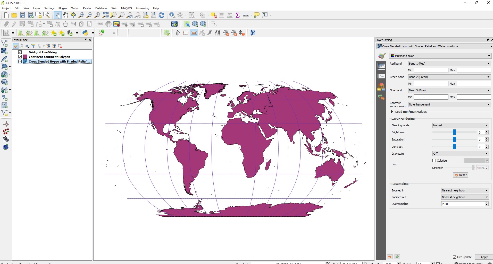
I had asked and answered about the way to make a world map with an angle.
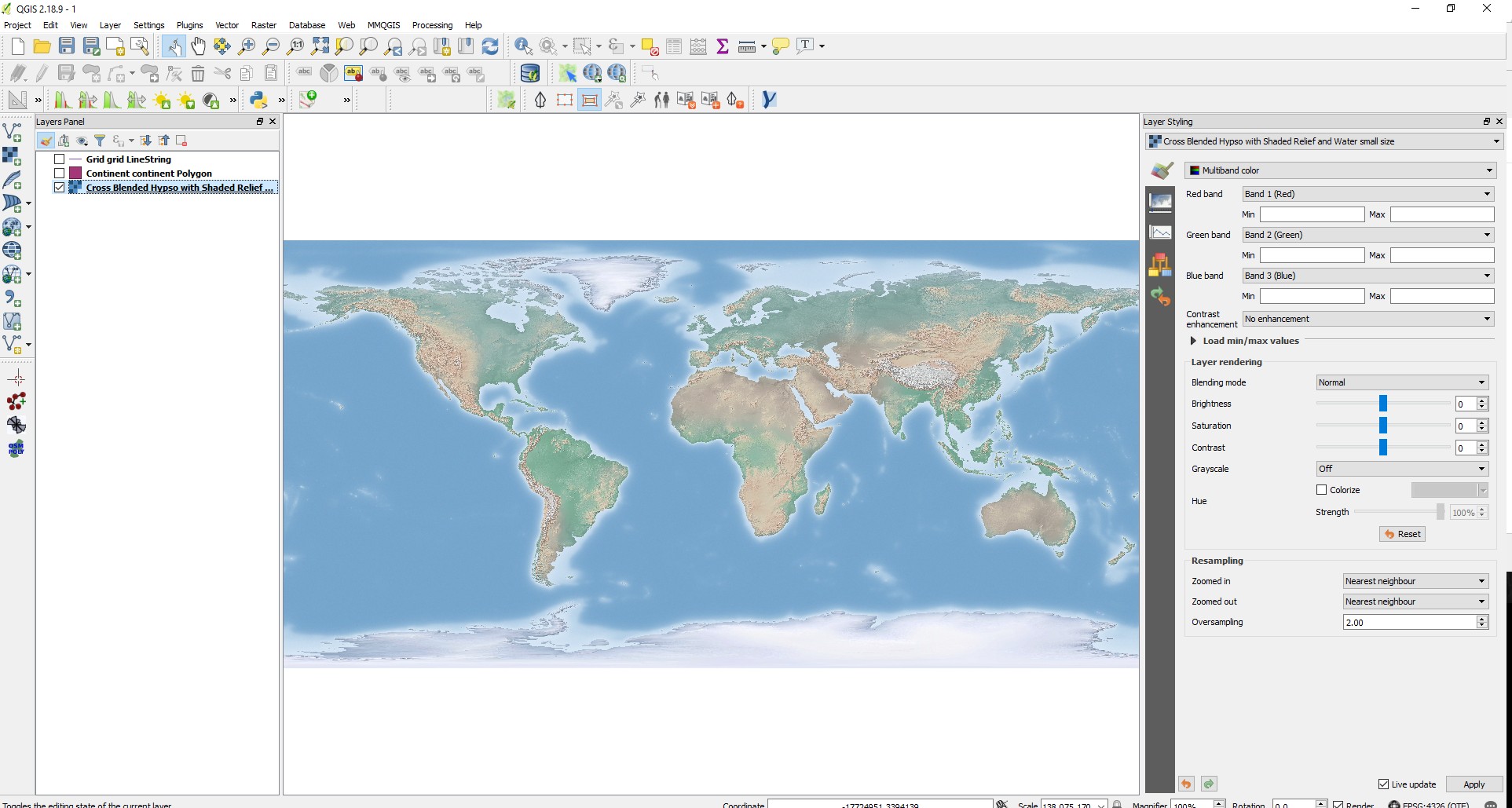
Now I am trying to make the same thing with a raster file.
I had changed the raster CRS, but I did not succeed to make him appear with the shp files
When the raster CRS is set on WGS 84 it's display separately from the other layers
Actually I am not sure if this is even possible to do.


