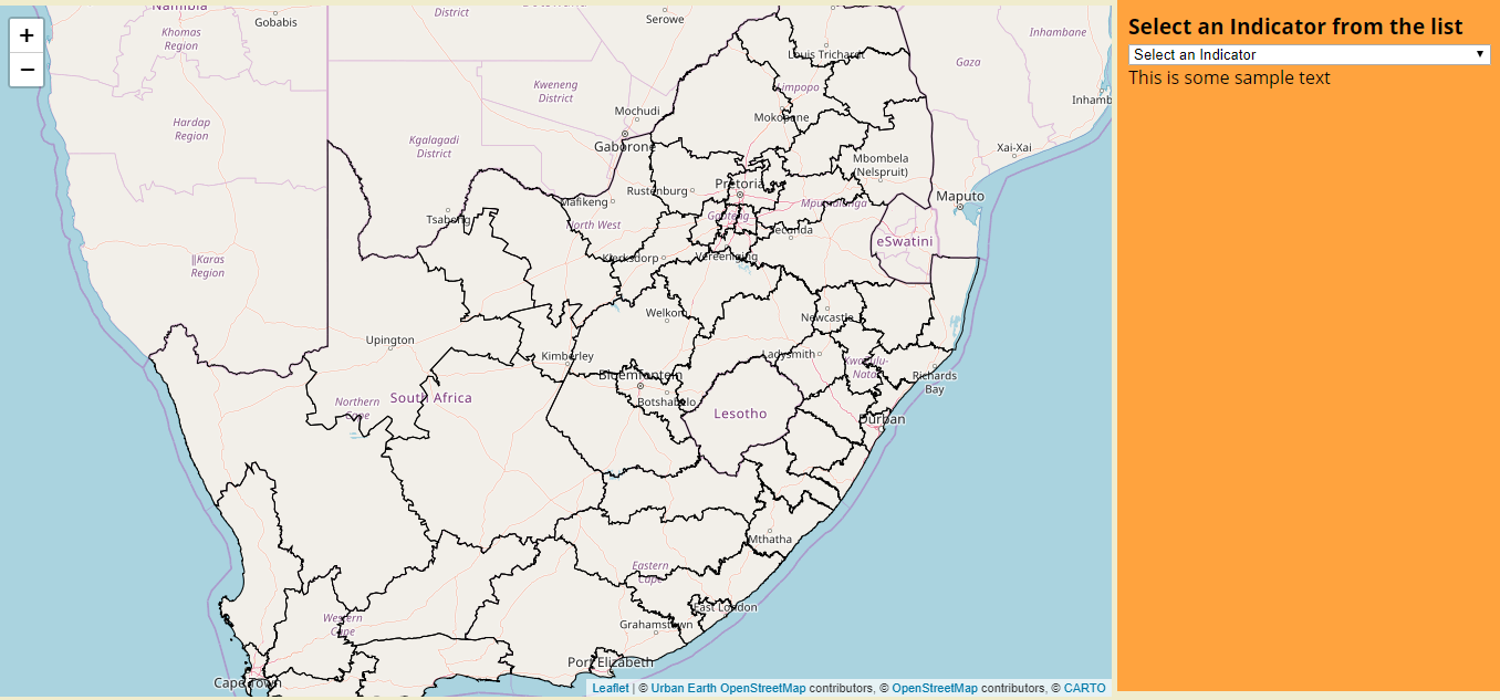
I am trying to make a map that has a layer showing District boundaries of South Africa, with a selector allowing the user to view which climate change indicators are a priority to each District. Using Carto's latest docs (with the Builder), I have successfully managed to build the foundation of my map and add the first layer of the District boundaries (see screenshot below):
Now I am trying to use the dropdown menu (id="selector") to search through a second dataset (called indicators) and fill the polygons that answer "yes" to the relevant feature column. Below is the database I created using QGIS:
Here is my code for the SQL layer:
    //Add SQL layer
    const indicatorsSource = new carto.source.SQL(`
      SELECT *
        FROM indicators WHERE selector ilike 'yes'
    `);
    const indicatorsStyle = new carto.style.CartoCSS(`
      #layer {
        polygon-fill: #162945;
        polygon-opacity: 0.5;
      }
    `);
    const indicators = new carto.layer.Layer(indicatorsSource, indicatorsStyle);

    //Add layers to map
    client.addLayers([boundaries, indicators]);
I think using "selector" in the SQL query is where I am going wrong. Any assistance would be appreciated.


