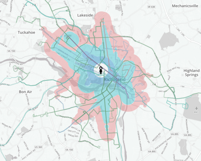
I am on a committee looking to redesign transit service in Sacramento and need to be able to make equal-time maps or "isochrones," like the attached.
A prominent difference between transit isochrones and road isochrones:
- each transfer has a temporal penalty. That is, it takes time to wait for the connecting bus.
- that penalty is lower where the connecting routes are more frequent and higher where the connecting routes are less frequent.
- some routes only serve stations, while others are considered to have an even distribution of stops along their routes.
( I am interested in a hybrid model between frequency and coverage that still creates a high-frequency grid between major traffic generators, but with routes that take different branches between the generators. This offers both frequency and coverage. Currently, the debate is binary, frequency or coverage.)

