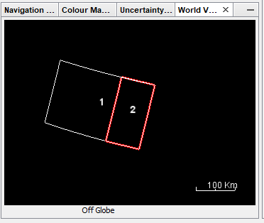
i have a problem with the extents of my sentinel 1 image, actually as shown in the image above, am selecting the frame 1 to download from ESA, when i process the snap tool to calibrate i only get the frame 2 and my area is not totaly covered.
Can anyone help me with this?
I am new to radar imagery.

