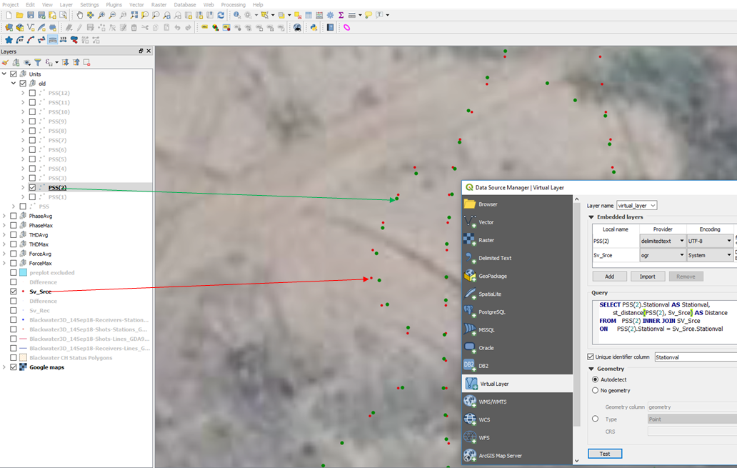
I am trying to calculate the difference between the positions of the same point on two different layers. One layer is a shapefile, other layer is a text file, and each point has a unique identifier, Stationval. Found something similar, using a virtual layer, however my python skills are not good enough to convert this. Was also looking for the Points2One plugin, with no avail. Any suggestions would be greatly appreciated. Thank you. Szilard
QGIS Find distance between positions of same point on two different layers
szilard
- 29
- 2

