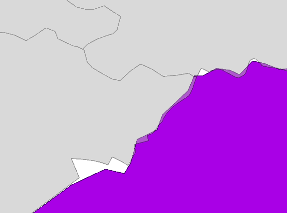
I have two layers of polygons with administrative boundaries. Although they come from the same data provider, they seem to have small discrepancies and do not 'fit' each other.
How could I merge these two layers in ArcGIS 9.3 removing overlaps and gaps between them?
Would it be possible to prioritize one layer (grey one in my case) and 'fit' the other one (purple) accordingly?

