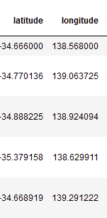
I have a dataframe with lat, lon columns in WGS84.
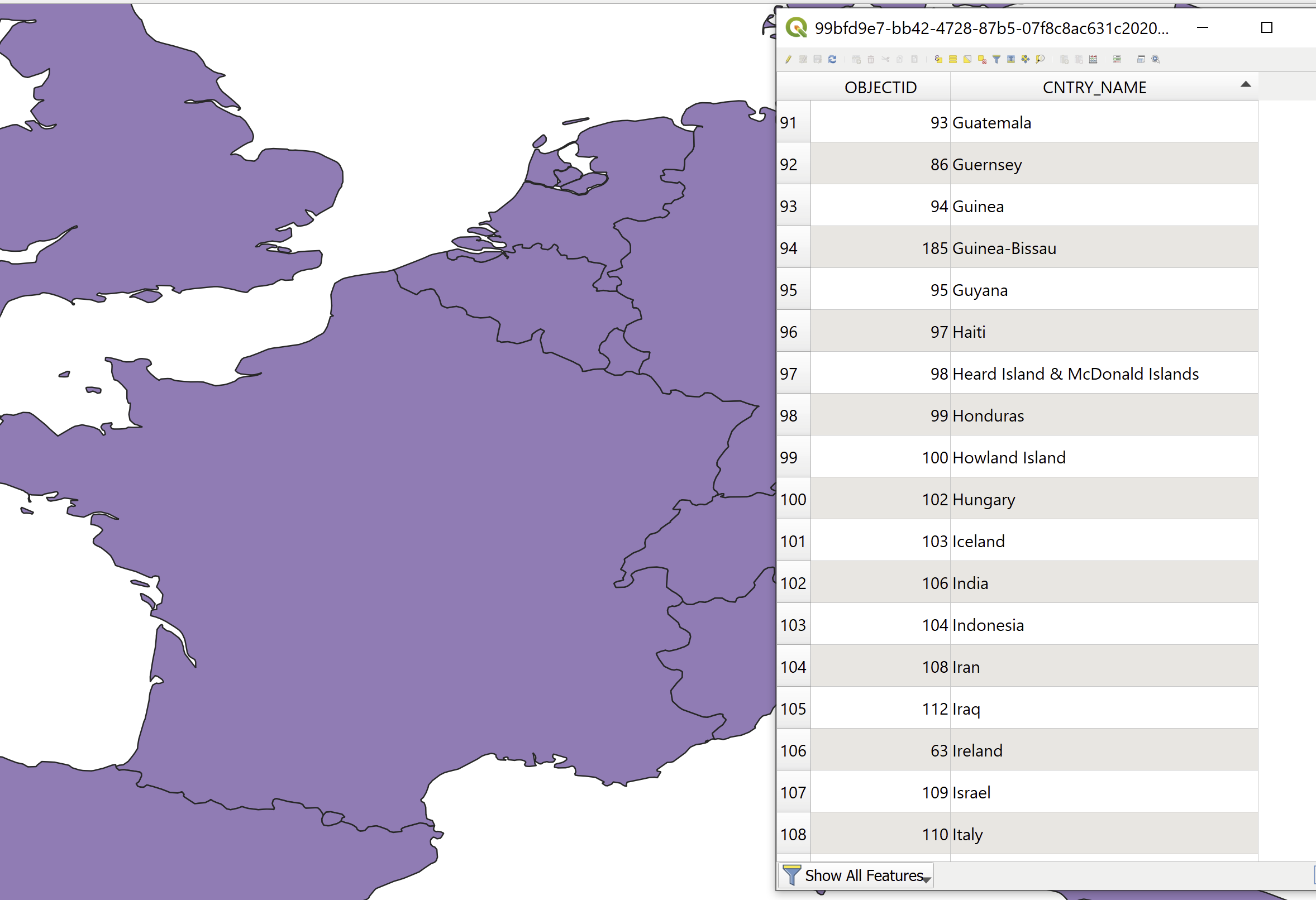
I also have a multipolygon layer (GeoJSON, I can also convert it to a SHP) with all countries' boundaries, where the name of the country is in the attribute table.
I would like to add to the dataframe a column where for each lat, lon I'll have the country name.
What would be the efficient way to do that (assuming I have 2000 lat lon pairs)?


