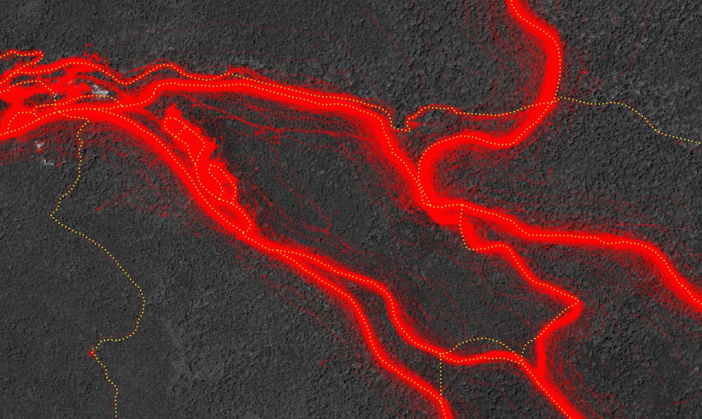
I have a huge dataset containing about zillion of points representing tracking locations of cars on the roads.
I also have roads datasets to compare to (from 3 different sources), to use for training machine learning models. Preferably using PyTorch or Tensorflow. Ideally re-using some existing model.
How to generate the road network, as automated as possible, using the point dataset representing tracking of these roads?
Note: The goal is NOT to snap points to existing roads, I know how to do that easily. The goal is to automatically generate reasonably good road network from points. Any research article or example related to automated network creation from points is welcome.
Example of points (red color at 10% opacity), and existing tracks over it (yellow dotted line):

