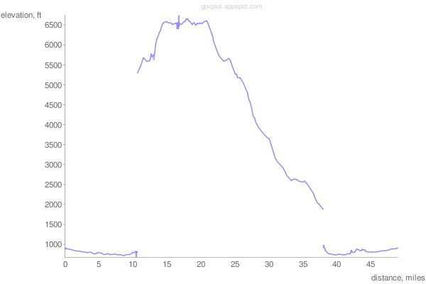
For a Python approach, try gpxplot available from code.google.com. The script is available here and the online interface is located here.

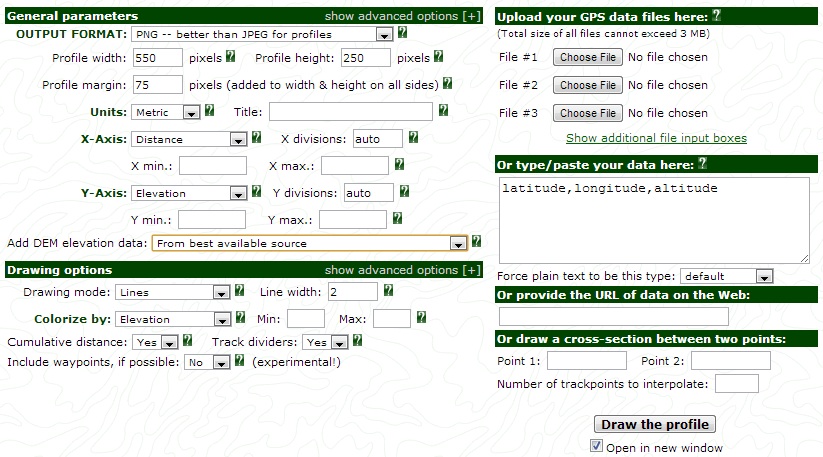
Try using GPS Visualizer. The profile tool looks like what you may be interested in.

Or, Maplorer: View GPX file on map + elevation
