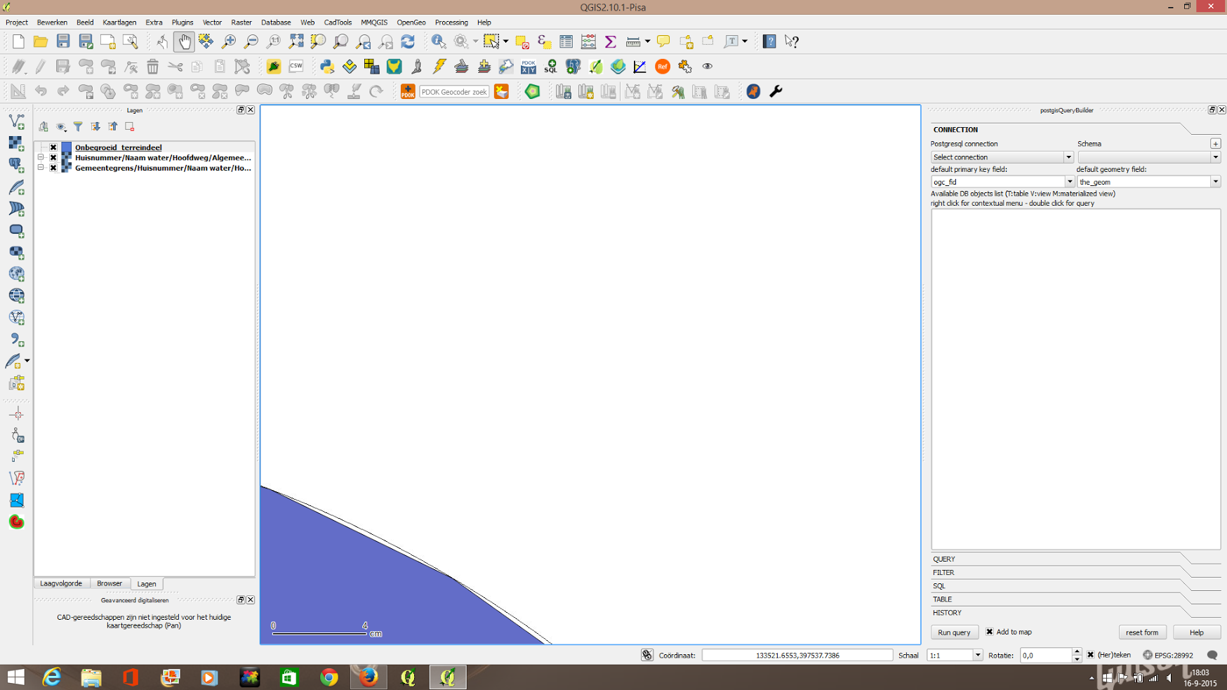
I loaded a wfs served by ArcGIS 10.0sp3 into QGIS. I got complaints that the arc were served as stroked arcs.
Question: is WFS able to serve real arcs instead of stroked ones, or is the client (in this case Qgis or Microstation) responsible for handling the request.? And if so how do I do that?

