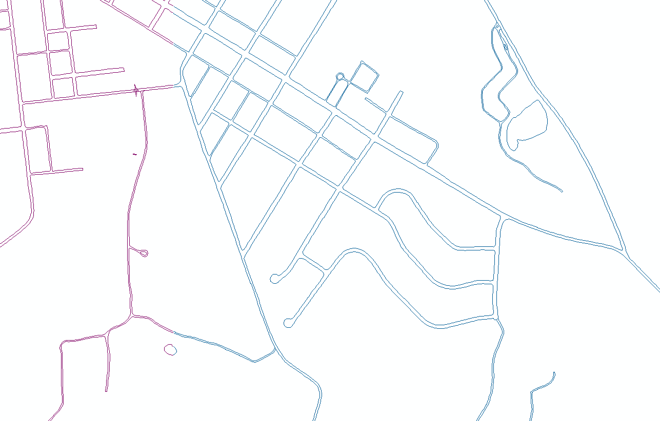
I am trying to convert the polyline shapefile shown in the picture below to polygon in order to fill in the "narrower" area between them as I am trying to get the right-of-way shapefile.
The Feature to Polygon will automatically fill the bigger space between the lines.
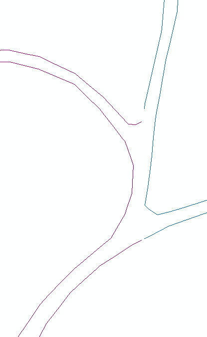
The lines aren't exactly connected. The gaps are shown below
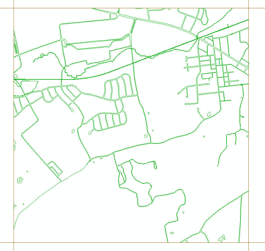
These lines are divided by different tiles. Each polyline shapefile is in a grid shown as below.
What I want to do is to first extend the lines to the grid boundary as there is also gap between them. If that works, then run a iterator to all the polyline features. Then merge them all.
Is there a way for me to extend the lines to the grid boundary? Or is there a better way to do all this?
Thanks


