gdalwarp is doing the right thing: preserving total resolution of your image by changing the pixel-size.
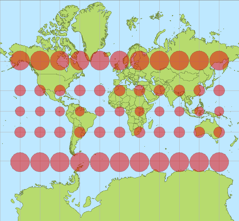
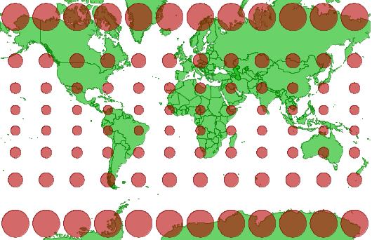
WGS 84 / Pseudo-Mercator is not good for measuring distances, because the projection is heavily distorted when moving away from the equator. ItThus, it could be discussed if the units should be called "Pseudo-meters".
This especially happens the further north or south you're going. 1 One meter in reality is approximately 1/cos(lat) pseudo-meters .
You can calculate the approximate pixel size for your raster image:
30m / cos(69.53°) = 85.78 pseudo-meters
Compare this with your gdalinfo output.


