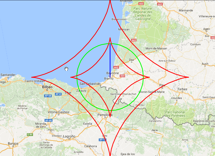
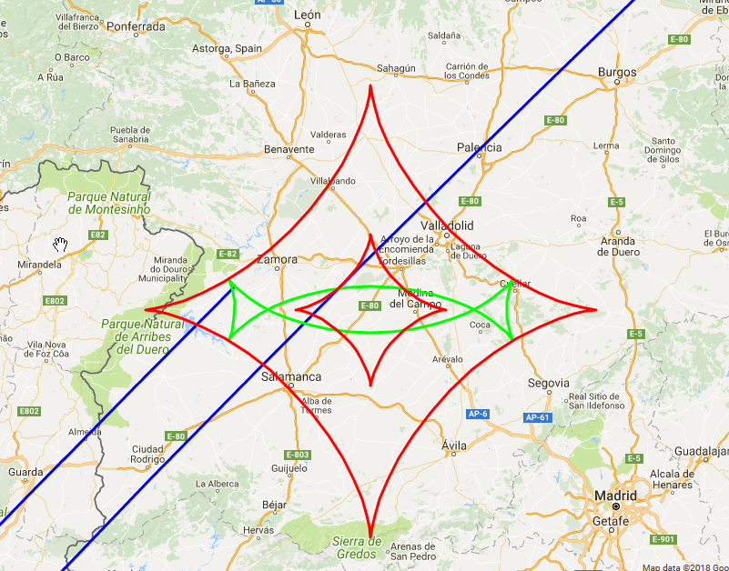
I've been looking at some various ways to calculate geodesics. One particularly good site collecting load of helpful information, is this one. There you can also find a link to a map that shows a circle whose geodesic radius is accurately calculated by the WGS84 ellipsoidal approximation. In the resulting map, there are some additional info presented (as red arcs), called envelope. I'm struggling to understand what these are and what exactly they represent. The only partially useful resource I can find is from this website, but looking at the faint lines drawn on 2D image of a stone, does not enlighten anyone, especially as you cannot rotate the images, to see where those lines goes, and intersects.
OR from another calculation:
From the website, the description only say:
The geodesic envelopes as red curves; all the geodesics emanating from lat1, lon1 are tangent to the envelopes (providing they are extended far enough). The number of solutions to the inverse problem changes depending on whether lat2, lon2 lies inside the envelopes. For example, there are four (resp. two) approximately hemispheroidal geodesics if this point lies inside (resp. outside) the inner envelope (only one of which is a shortest path).
Q: How can I better understand what those red arcs represent?
- Why are they useful on this picture?
- How are they generated?
As I'm more of a visual person, I'd appreciate moreseeking a visual explanation, rather than a purely verbal description.


