updating the answer
Source Link
Marco
  • 3.3k
  • 15
  • 37

A different approach that you can explore is the command r.report from GRASS in the processing toolbox.

The GRASS man page is here: https://grass.osgeo.org/grass74/manuals/r.report.html

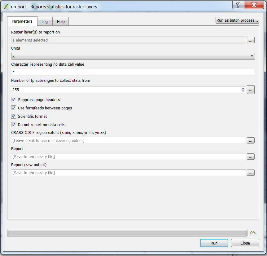
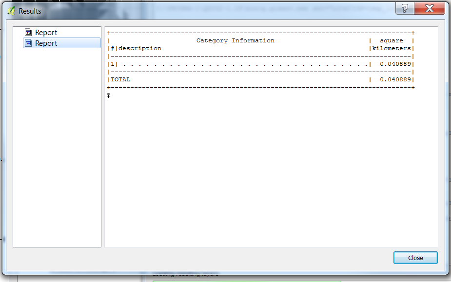
And these are the screenshots from QGIS 2.18.14. In the picture below the raster has only one category value (1) and the result is in km^2 (k).

enter image description here

enter image description here

A different approach that you can explore is the command r.report from GRASS in the processing toolbox.

A different approach that you can explore is the command r.report from GRASS in the processing toolbox.

The GRASS man page is here: https://grass.osgeo.org/grass74/manuals/r.report.html

And these are the screenshots from QGIS 2.18.14. In the picture below the raster has only one category value (1) and the result is in km^2 (k).
enter image description here

enter image description here

Source Link
Marco
  • 3.3k
  • 15
  • 37

A different approach that you can explore is the command r.report from GRASS in the processing toolbox.