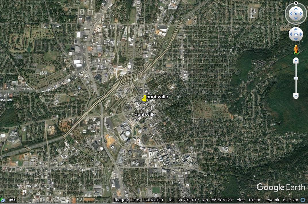
Say I'm looking at a place in google earthGoogle Earth around 34.732530, -86.586623, around Huntsville AL.
How can I easily find a google-earth-engine dataset that has the EO imagery for what I'm seeing? There are many datasets that cover this geographic location, but which one(s) have the optical images?
Looking for something like img = ee.Image('LANDSAT/LT05/C01/T1_SR/LT05_034033_20000913')

