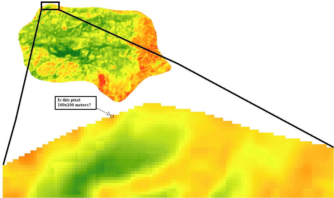
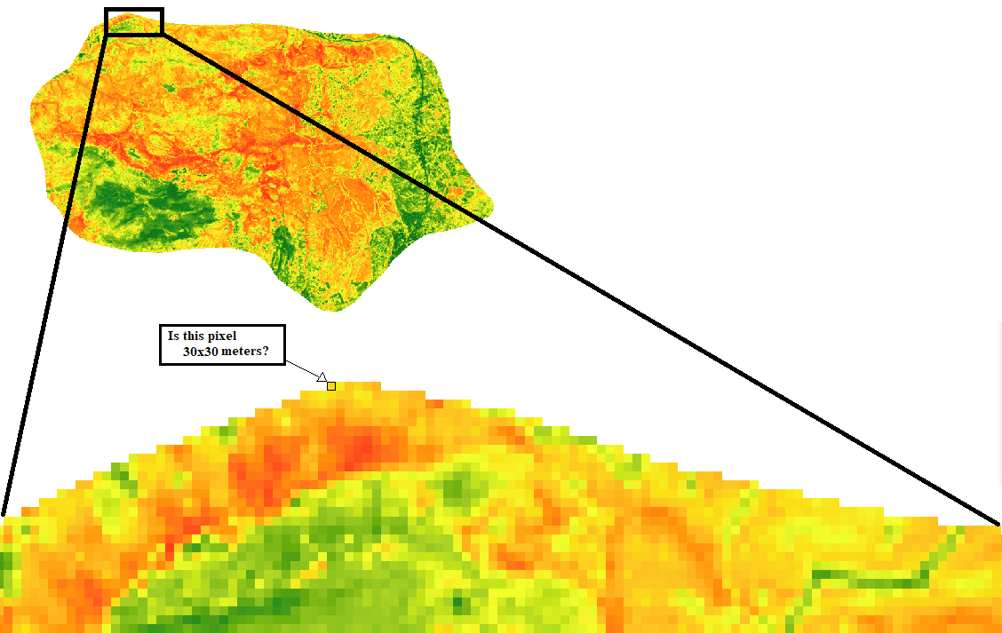
Bands 1-7 & 9 of Landsat 8 have a spatial resolution of 30 meters, but Band 10 and 11 have 100 meters. Bellow there are NDVI and Band 10 Rasters of a study area. My question is, does
Does each pixel of the band 10 representsrepresent a 100x100 meters area? Also, does
Does each pixel of NDVI raster representsrepresent a 30x30 meters area?
I am asking because those 2 images have the same number of pixels and it seems strange to me.
How can a 100x100 meters resolution be the same as a 30x30 meters resolution?
Image 1: Band 10 (100x100 meters resolution)
Image 2: NDVI Raster (30x30 meters resolution)


