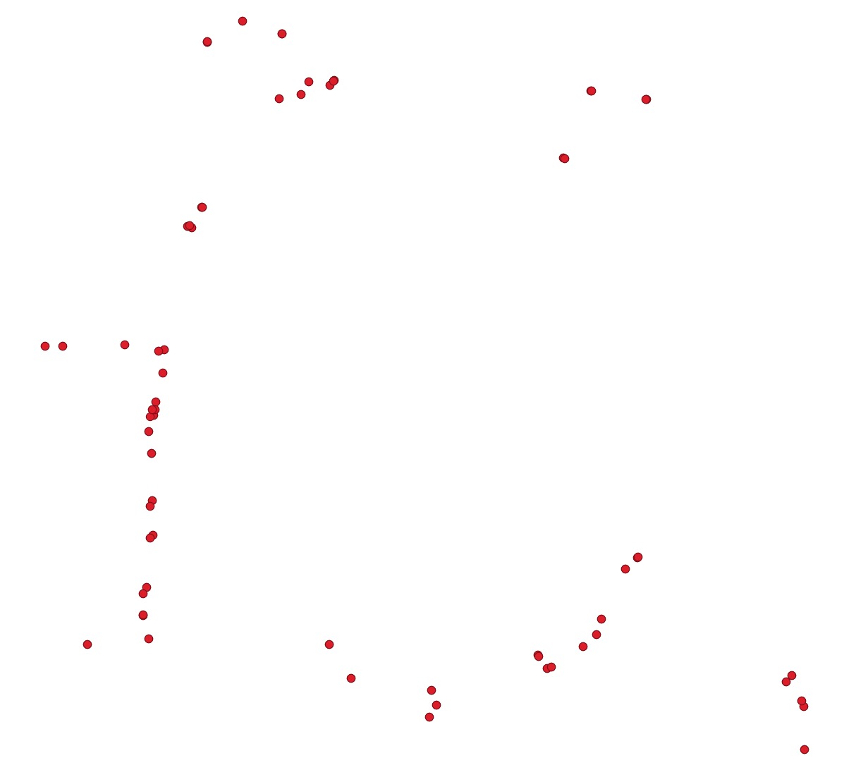
In QgisQGIS I have a point layer of approx. 50 points around a city that represent the on ramps to- and exits off the highway. I would like to calculate the isochrones / service areas of each individual point to see where most car drivers would potentially go if they let's say take 'exit 15' or originate from when taking 'on-ramp 15'.
Using the Valhalla QgisQGIS plugin I'm able to create these isochrones based on travel time. However, these isochrones overlap and I would like to end up with a map that shows the distinct areas that are best served by each individual on ramp and exit. Therefore, ideally I would like to use some sort of method or algorithm that creates these isochrones gradually and stops as soon they touch other isochrones, a bit like a watershed model. Or process these overlapping isochrones afterwards to make them not overlapping. Does any have any advice how to achieveHow can I achieve this?

