I have a raster file in ESRI ArcGrid format (e.g. hdr.adf). I would like to run some analysis using GeoTools. I've never used the coverage classes before and I'm having a few problems out of the gates.
I can instantiate the AIGReader just fine and I get the correct values when I check the bounds. Example:
    BaseGDALGridCoverage2DReader reader = new AIGReader(file);

    System.out.println(reader.getSource());
    for (String coverage : reader.getGridCoverageNames()){
        System.out.println(coverage);
    }
    System.out.println(reader.getOriginalEnvelope());
    System.out.println(reader.getOriginalGridRange());
    System.out.println(reader.getCoordinateReferenceSystem());
This is the stdout:
   Jan 06, 2015 6:38:09 PM it.geosolutions.imageio.gdalframework.GDALUtilities loadGDAL
   INFO: GDAL Native Library loaded (version: 1.11.1)
   Jan 06, 2015 6:38:09 PM org.geotools.coverageio.gdal.BaseGDALGridCoverage2DReader setCoverageProperties
   INFO: crs not found, proceeding with default crs
   K:\Landscan\LandScan_Archive_2000_2012\LandScan2000\lspop2000\hdr.adf
   geotools_coverage
   GeneralEnvelope[(-180.0, -90.0), (179.99999999999858, 85.99999999999929)]
   GridEnvelope2D[0..43199, 0..21119]
   LOCAL_CS["Wildcard 2D cartesian plane in metric unit",
     LOCAL_DATUM["Unknown", 0],
     UNIT["m", 1.0],
     AXIS["x", EAST],
     AXIS["y", NORTH],
     AUTHORITY["EPSG","404000"]]
When I call the BaseGDALGridCoverage2DReader.read() method, I get a null pointer exception:
GridCoverage2D gc = (GridCoverage2D) reader.read(null);
The read method throws the following Exception:
Exception in thread "main" java.lang.NullPointerException
    at org.geotools.coverageio.RasterLayerRequest.setBaseParameters(RasterLayerRequest.java:902)
    at org.geotools.coverageio.RasterLayerRequest.<init>(RasterLayerRequest.java:206)
    at org.geotools.coverageio.BaseGridCoverage2DReader.read(BaseGridCoverage2DReader.java:400)
I tried passing in an array of GeneralParameterValue but I still get a null pointer exception. Example:
    ParameterValue<OverviewPolicy> policy = AbstractGridFormat.OVERVIEW_POLICY.createValue();
    policy.setValue(OverviewPolicy.IGNORE);
    ParameterValue<String> gridsize = AbstractGridFormat.SUGGESTED_TILE_SIZE.createValue();
    ParameterValue<Boolean> useJaiRead = AbstractGridFormat.USE_JAI_IMAGEREAD.createValue();
    useJaiRead.setValue(true);

    reader.read(new GeneralParameterValue[]{policy, gridsize, useJaiRead});
I'm using Java 1.6 so I'm stuck with GeoTools 10.8.
Any suggestions?
UPDATE
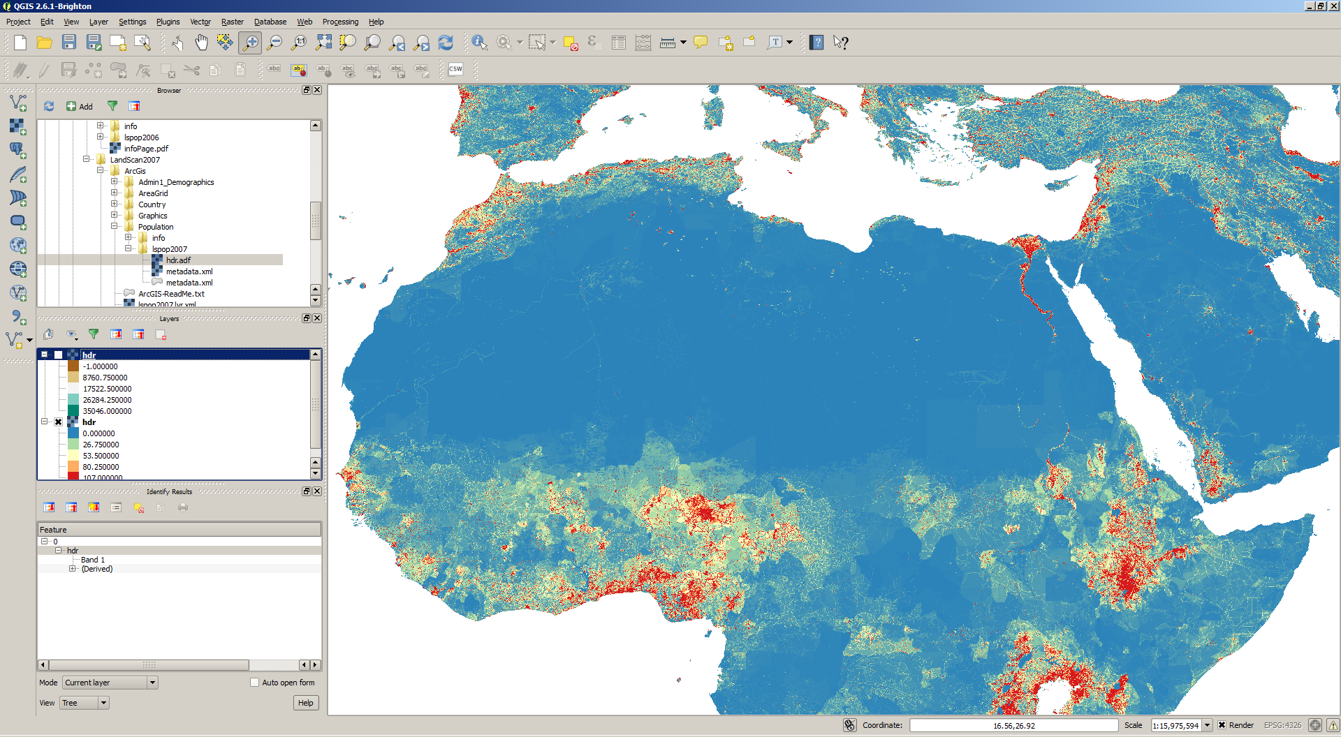
QGIS and GDAL can open the file just file. Here's a rendering from QGIS.

Here's the output from gdalinfo. As you can see the projection is not set. I hope this isn't the cause. If it is, is there a way to tell the reader which projection to use?
Driver: AIG/Arc/Info Binary Grid
Files: K:\Landscan\LandScan_Archive_2000_2012\LandScan2000\lspop2000
       K:\Landscan\LandScan_Archive_2000_2012\LandScan2000\lspop2000.aux.xml
       K:\Landscan\LandScan_Archive_2000_2012\LandScan2000\lspop2000\dblbnd.adf
       K:\Landscan\LandScan_Archive_2000_2012\LandScan2000\lspop2000\hdr.adf
       K:\Landscan\LandScan_Archive_2000_2012\LandScan2000\lspop2000\log
       K:\Landscan\LandScan_Archive_2000_2012\LandScan2000\lspop2000\metadata.xml
       K:\Landscan\LandScan_Archive_2000_2012\LandScan2000\lspop2000\sta.adf
       K:\Landscan\LandScan_Archive_2000_2012\LandScan2000\lspop2000\vat.adf
       K:\Landscan\LandScan_Archive_2000_2012\LandScan2000\lspop2000\w001001.adf
       K:\Landscan\LandScan_Archive_2000_2012\LandScan2000\lspop2000\w001001x.adf
Size is 43200, 21120
Coordinate System is `'
Origin = (-180.000000000000000,85.999999999999289)
Pixel Size = (0.008333333333333,-0.008333333333333)
Corner Coordinates:
Upper Left  (-180.0000000,  86.0000000)
Lower Left  (-180.0000000, -90.0000000)
Upper Right ( 180.0000000,  86.0000000)
Lower Right ( 180.0000000, -90.0000000)
Center      (  -0.0000000,  -2.0000000)
Band 1 Block=256x4 Type=Int32, ColorInterp=Undefined
  Description = lspop2000
  Min=0.000 Max=159004.000
  Minimum=0.000, Maximum=35453.000, Mean=14.586, StdDev=221.326
  NoData Value=-2147483647
  Metadata:
    LAYER_TYPE=athematic
    STATISTICS_MAXIMUM=35453
    STATISTICS_MEAN=14.58631887449
    STATISTICS_MINIMUM=0
    STATISTICS_STDDEV=221.32624697214
