Using GDAL I can extract information from an ArcGRID raster, just by giving the name of the grid folder:
gdalinfo -stats grid_folder
All the statistics show up. I have tried with many arcGRID files and works fine.
However, if I want to add that ArcGRID raster to Geoserver as a new datastore, I cannot add it to it. First, I cannot specify the grid folder as the repository for the datastore, but secondly, if I try adding any of the .adf files, either it works. Geoserver displays the following message:
Could not list layers for this store, an error occurred retrieving them: org.geotools.data.DataSourceException: Unable to parse the header for the provided input
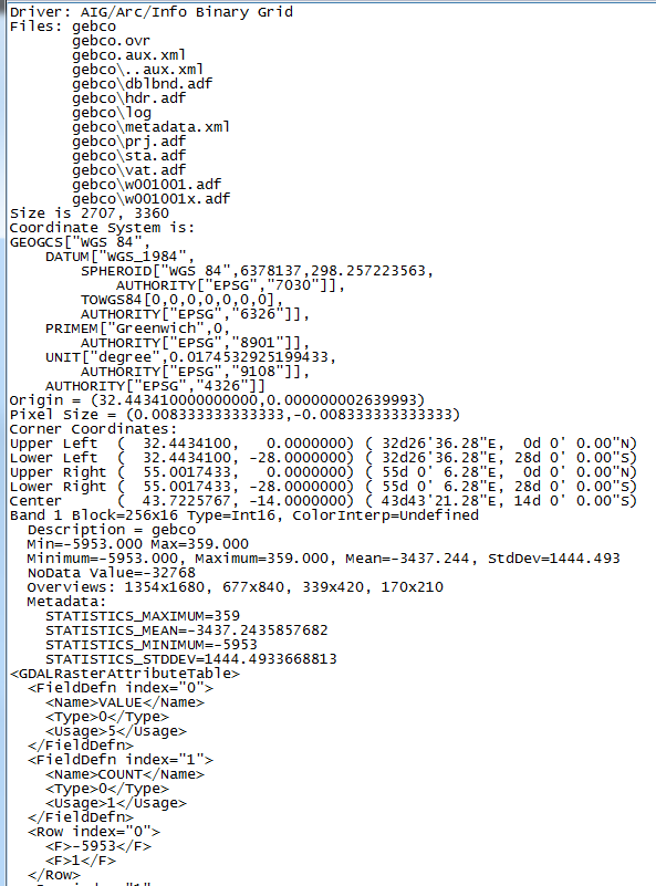
In addition, this the output of gdalinfo printed in a text file:

(I have omitted all the output rows from the attribute table)
I thought Geoserver used GDAL for compability. Any idea, apart from using gdal_translate to convert the GRID files into tiff or any other?
