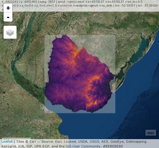
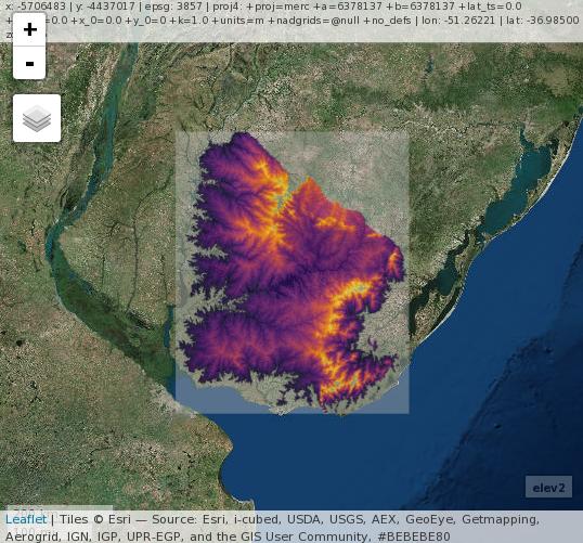
I have a raster that displays elevational values at a global scale. I would like to set the minimum and maximum values based on the values I would like to choose.
> elev
class       : RasterLayer
dimensions  : 18000, 43200, 777600000  (nrow, ncol, ncell)
resolution  : 0.008333334, 0.008333334  (x, y)
extent      : -180, 180, -60, 90.00001  (xmin, xmax, ymin, ymax)
coord. ref. : +proj=longlat +ellps=WGS84 +towgs84=0,0,0,0,0,0,0 +no_defs
data source : E:\Data\Elevation_Data\alt\alt
names       : alt
values      : -431, 8233  (min, max)
attributes  :
     ID COUNT
 from: -431     2
 to  : 8233     1

> image(elev, zlim=c(0,1200))
The above command simply plots an image with the necessary values, but I would like a raster with just those limits.
Any thoughts?


