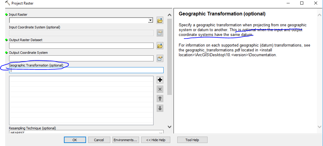
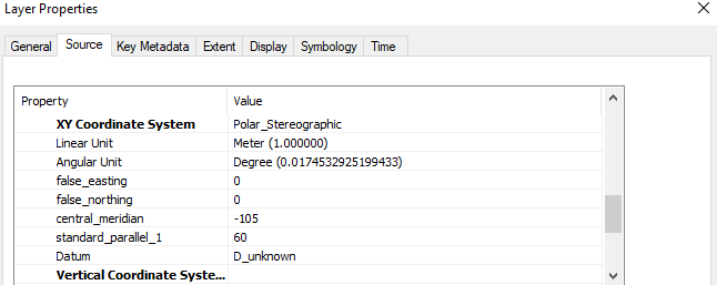
 I am new to GIS. I had a grib format data file and it's coordinate system shown below. I want to project it to WGS84, however, the datum of original file is unknown. I know I need to provide the datum info while projecting.
How can I solve this using ArcGIS Desktop?

