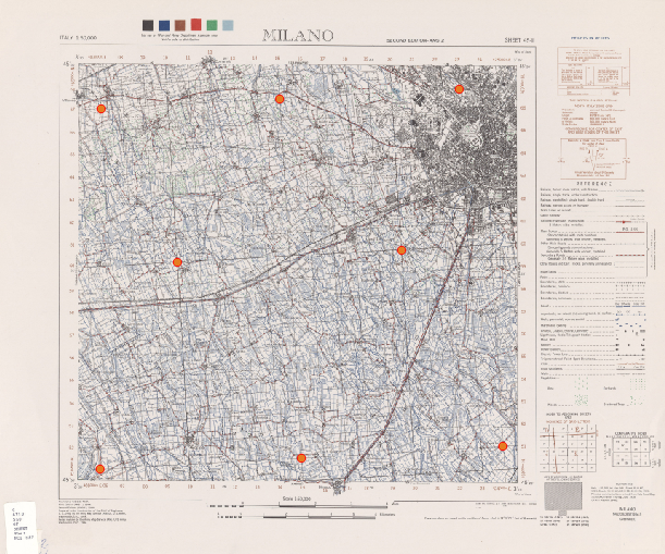
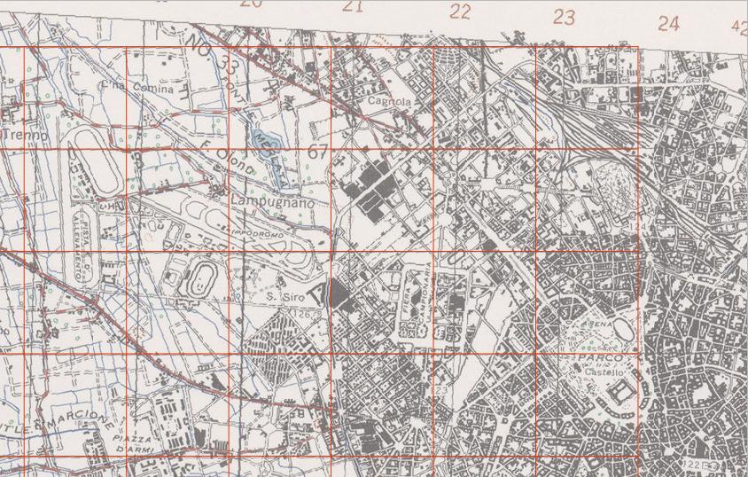
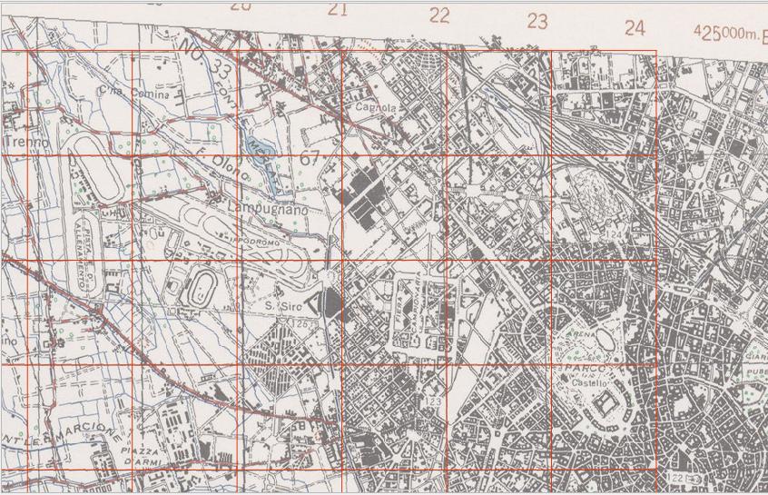
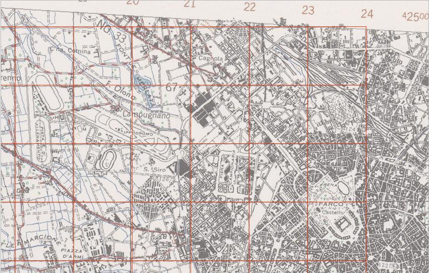
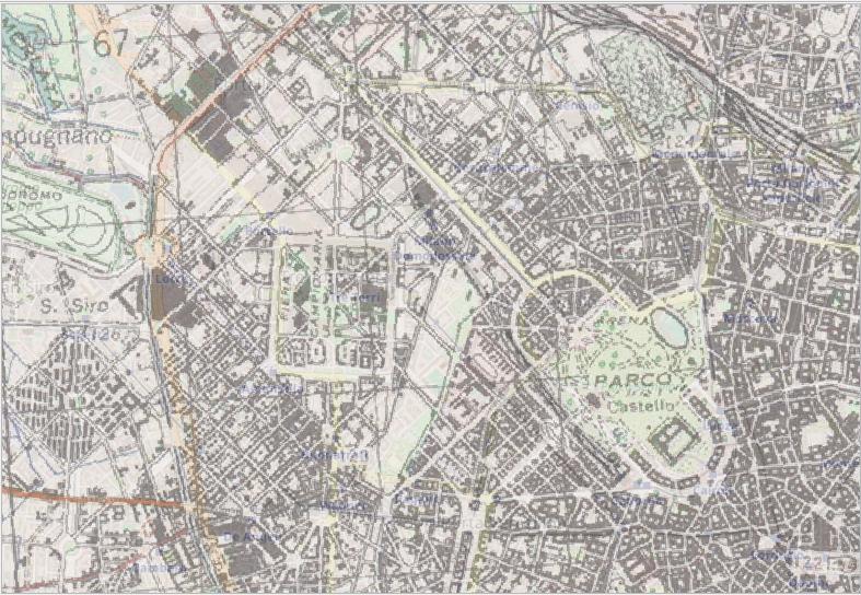
I would like to georeference these fantastic old public domains maps https://legacy.lib.utexas.edu/maps/ams/italy_50k/
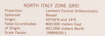
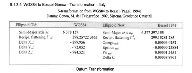
I started from this one, and it has these projection parameters.
Then I have tried to georeference it, using the commands below and this proj parameters +proj=lcc +lat_0=45.90 +lon_0=14 +lat_1=45.90 +x_0=800000 +y_0=601000 +ellps=bessel +units=m +no_defs +k_0=0.998992911
# delete existent images
rm ./output_gcp.tif
rm ./output_warped.tif
# download the image
curl -L "http://legacy.lib.utexas.edu/maps/ams/italy_50k/txu-pclmaps-oclc-6540719-milano-45-iii.jpg" >./output.jpg
# add control points
gdal_translate -of GTiff -gcp 532.292 2433.53 405000 551000 -gcp 2618.57 2316.82 424000 551000 -gcp 2388.9 467.338 423000 567000 -gcp 537.666 569.428 407000 567000 -gcp 933.404 1364.4 410000 560000 -gcp 2090.5 1299.92 420000 560000 -gcp 1462.72 517.946 415000 567000 -gcp 1576.18 2376.68 415000 551000 ./output.jpg ./output_gcp.tif
# apply the proj parameters
gdalwarp -r near -order 1 -co COMPRESS=PACKBITS  -t_srs "+proj=lcc +lat_0=45.90 +lon_0=14 +lat_1=45.90 +x_0=800000 +y_0=601000 +ellps=bessel +units=m +no_defs +k_0=0.998992911" ./output_gcp.tif ./output_warped.tif
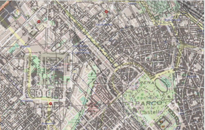
But I have a not so good result, a displacement of about 150 meters.
I think that the problem here is the definition of the standard parallel/s.
With this kind of projection (as I have read here), "two parallels and a scale of 1 are equivalent to
one parallel somewhere between them and a scale less than 1. Since there is a
scale, which is slightly less than 1, I think that there is one parallel"; it should be the Origin I can read in the projection info (45°54'N), and I have used it.
But it seems not work. Probably I must set two standard parallels, but which should i use?
EDIT
I have tried to use geographical coordinates of the 4 corners (using EPSG:1660):
# download the image
curl -L "http://legacy.lib.utexas.edu/maps/ams/italy_50k/txu-pclmaps-oclc-6540719-milano-45-iii.jpg" >./output.jpg
# add control points
gdal_translate -of GTiff -gcp 418.832 2486.39 -3.5 45.3333 -gcp 2689.8 2501.38 -3.25 45.3333 -gcp 2686.8 349.879 -3.25 45.5 -gcp 425.704 337.633 -3.5 45.5 ./output.jpg ./output_mm.tif
# apply the proj parameters
gdalwarp -r near -order 1 -co COMPRESS=PACKBITS  -t_srs "+proj=longlat +ellps=intl +towgs84=-104.1,-49.1,-9.9,0.971,-2.917,0.714,-11.68 +pm=rome +no_defs" ./output_mm.tif ./output_mm_warped.tif
It's a better result, but I would like to find a right way using the Lambert Projction.
Moreover it's wrong assumption because "The Monte Mario datum based on the Hayford (International 1909) ellipsoid was adopted in 1940, but this map explicitly says that it is projected from the Bessel ellispsoid" (see this reply).

