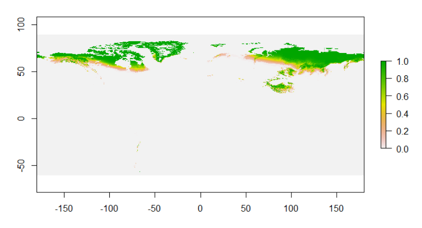
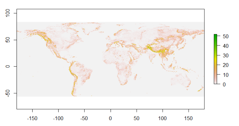
I've got two rasters, soil and slope. I want to plot the slope raster but only in areas where there is soil (i.e. soil is > 0). How can I do this?
This is the soil raster:
EDIT 1: more information about the rasters.
soil
 > extent(soil)
 class      : Extent
 xmin       : -180
 xmax       : 179.9856
 ymin       : -60
 ymax       : 89.994
 > res(soil)
 [1] 0.008333 0.008333
 > origin(soil)
 [1]  0.001133 -0.002400
slope
 > extent(slope)
class      : Extent
xmin       : -180
xmax       : 180.0023
ymin       : -56.00016
ymax       : 84.00257
> res(slope)
[1] 0.008333386 0.008333496
> origin(slope)
[1] 0.0011330 0.0009332
EDIT 2: information about dimensions
 > dim(soil)
 [1] 18000 43200     1

 > dim(slope)
 [1] 16800 43200     1


