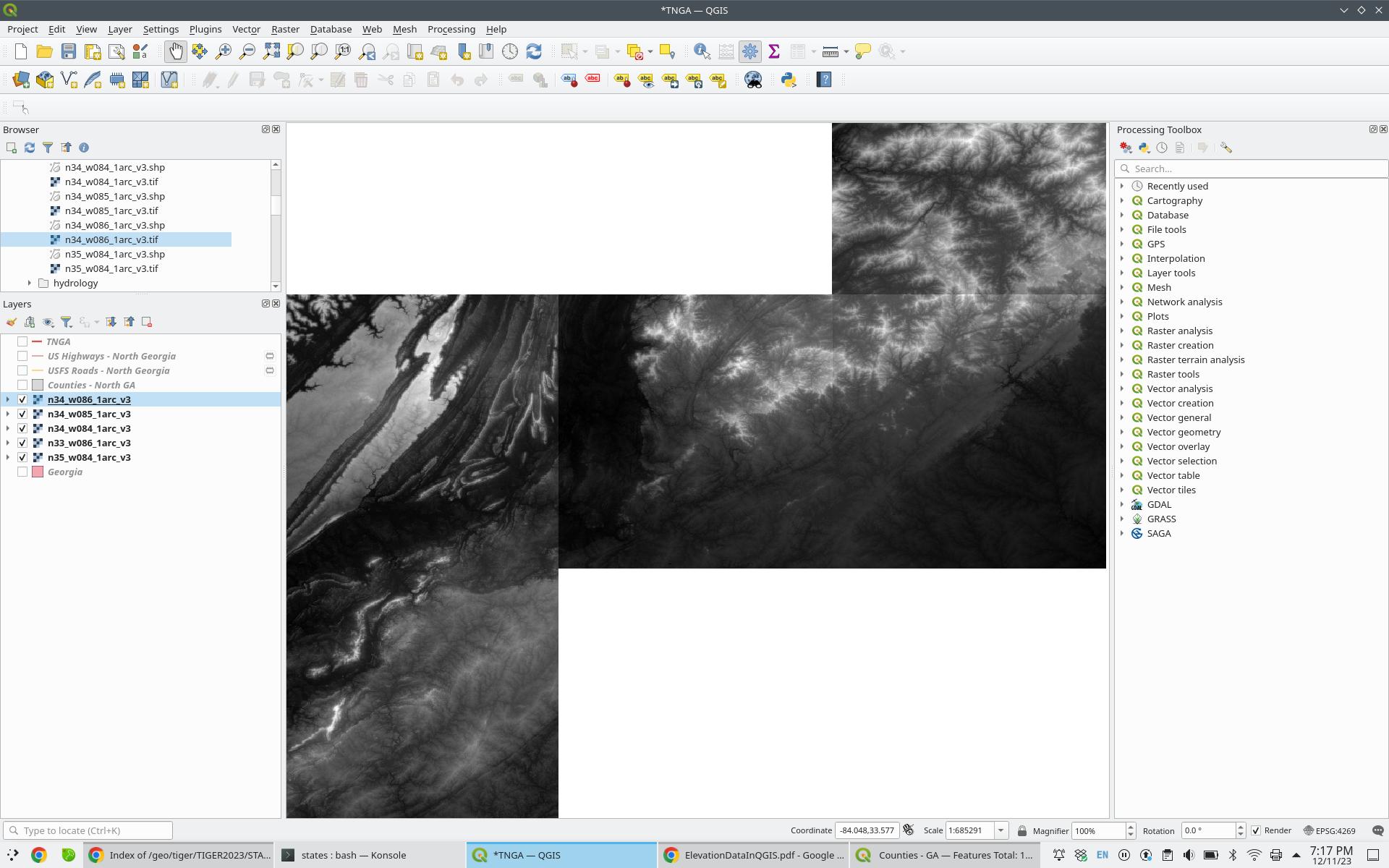
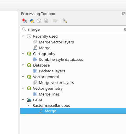
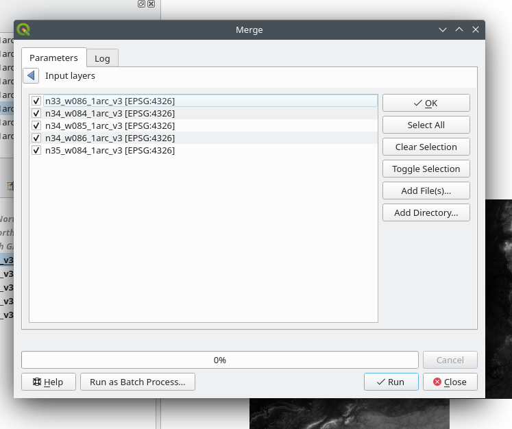
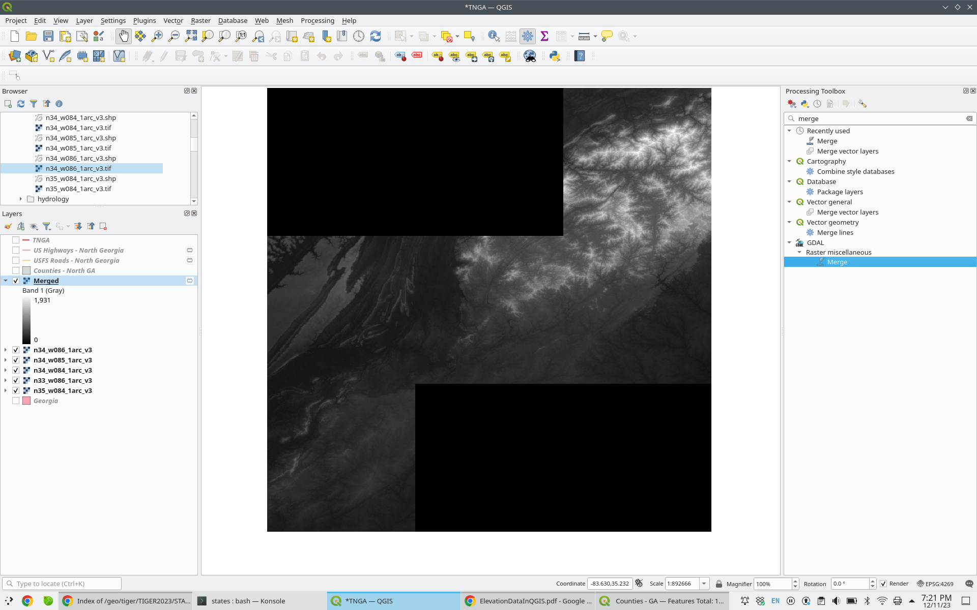
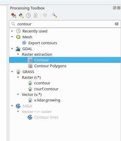
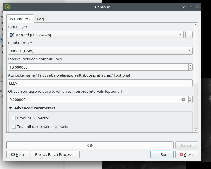
I downloaded several USGS GeoTIFFs from the USGS Earth Explorer site (https://earthexplorer.usgs.gov/). These were then converted to contours using the qgis toolbox (GDAL -> Raster Extraction -> Contour). The command was of the form:
gdal_contour -b 1 -a ELEV -i 5.0 -f "ESRI Shapefile" n33_w086_1arc_v3.tif n33_w086_1arc_v3.shp
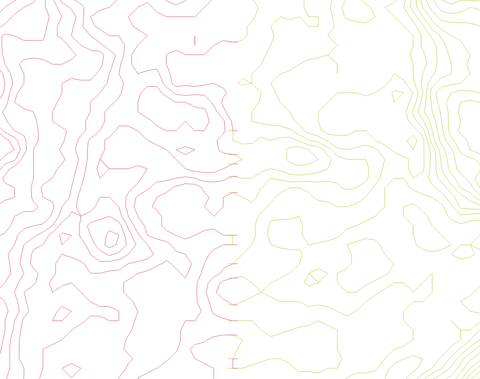
At the boundaries of my tiles, there is a slight overlap which leaves a "ladder" effect:
If I had to guess, these are artifacts resulting from GDAL hitting the edge of the GeoTIFF while processing a contour line. These are very distracting visually. How can they be trimmed or removed?

