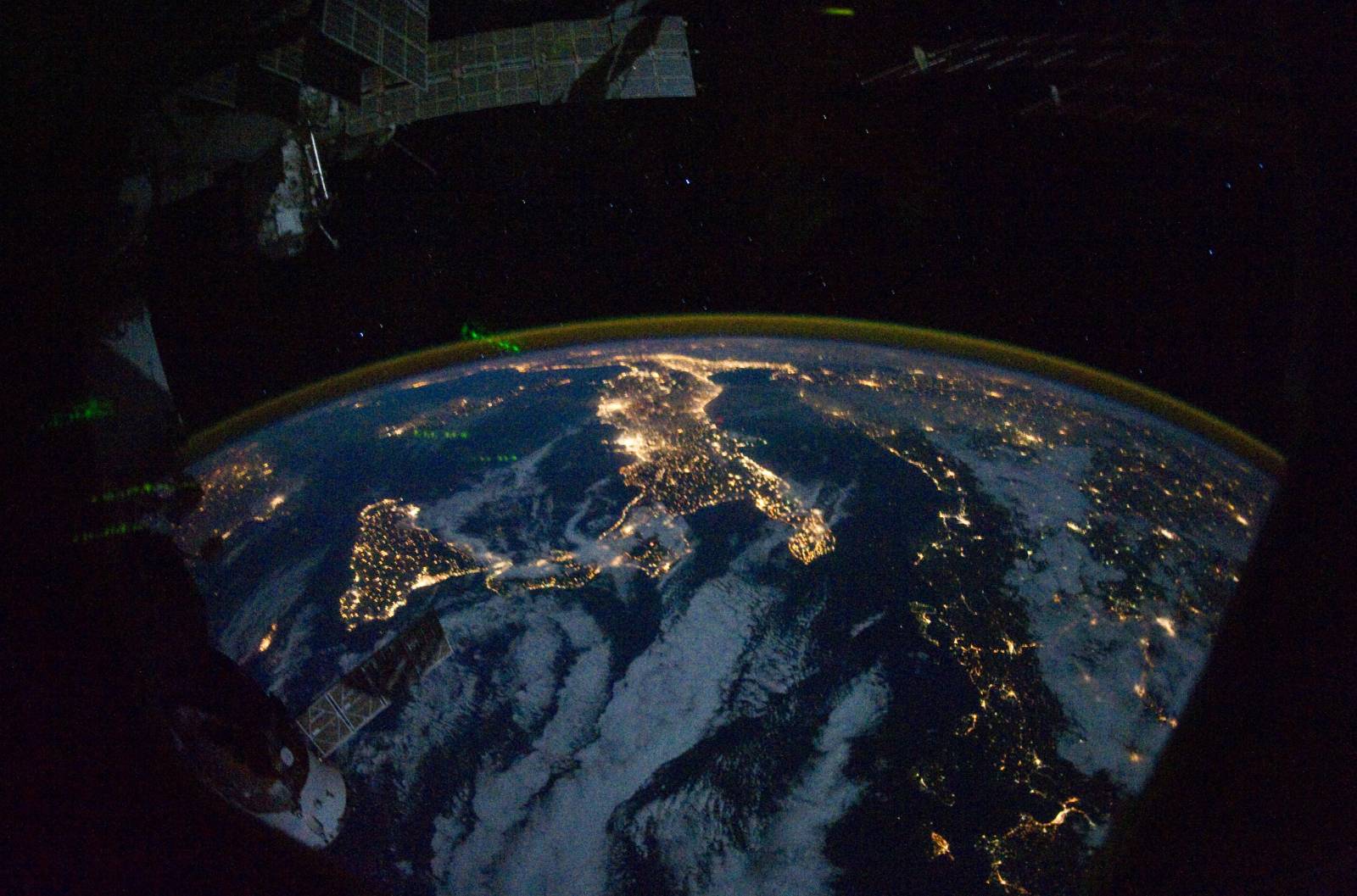
I do not know of any automatic projection algorithm or software that could master so many challanges and unknown parameters in one picture (extremely high panorama-induced distortion in the NW direction, unknown look angle and flight height of the sensor, unequal pixel size, interrupting elements in the picture and many, many others). The only thing you could try would be to georeference the dataset you wish to add to the image manually, that is, set as many ground control points on it as possible and auto-adjust to this picture using a high-order polynomial transformation.
However, keep in mind that the closer your dataset is to the nadir, the more exact is the projection result. I also doubt you will be able to add road network unless and you apply the same GCPs on it as on country boundaries (which would be much easier to start with).

