11

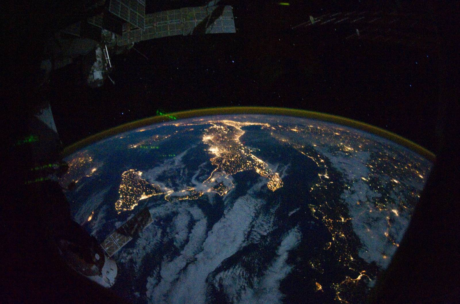
Today I stumbled upon a picture taken from the ISS looking down Europe and it is really beautiful.

ISS picture

So, I started thinking I could add more to the picture. Like world borders, cities, road network, everything. For fun.

The problem is that I know next to nothing about the azimuth or height of the sensor used proj4 satellite projection

Can you can help me assign a projection that image?

Here's the source (it's big!)

3
  • 2
    This may be of interest to you: Location of Every Photo From the ISS
    – Chethan S.
    Commented Apr 29, 2013 at 8:47
  • Also, the satellite projection is for geostationary satellite (ie meteosat). ISS isn't geostationary.
    – Jose
    Commented May 1, 2013 at 15:23
  • Good point, that's true. So its unsolvable?
    – nickves
    Commented May 1, 2013 at 21:57

1 Answer 1

3

I do not know of any automatic projection algorithm or software that could master so many challanges and unknown parameters in one picture (extremely high panorama-induced distortion in the NW direction, unknown look angle and flight height of the sensor, unequal pixel size, interrupting elements in the picture and many, many others). The only thing you could try would be to georeference the dataset you wish to add to the image manually, that is, set as many ground control points on it as possible and auto-adjust to this picture using a high-order polynomial transformation.

However, keep in mind that the closer your dataset is to the nadir, the more exact is the projection result. I also doubt you will be able to add road network unless and you apply the same GCPs on it as on country boundaries (which would be much easier to start with).
Your Answer

By clicking “Post Your Answer”, you agree to our terms of service and acknowledge you have read our privacy policy.

Not the answer you're looking for? Browse other questions tagged or ask your own question.