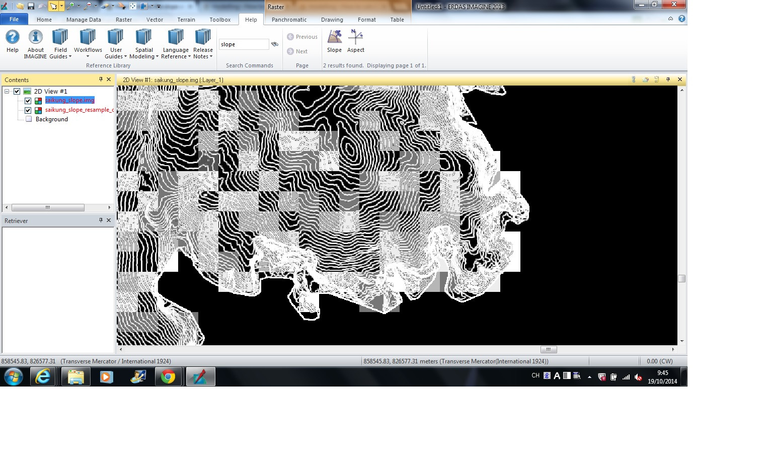
I am trying to calculate the steepness of each pixels (30m) from the DEM of 2m resolution. I have made use of ERDAS Imagine - Slope function and returns a contour-like pixel image. The pixel value between contour is null in value. I have also tried to resample the slope image to 30m pixel but i don't know why many pixels return null value even it is overlapped with lots of contour-like pixels.

Is there any method to calculate the steepness of each pixels in the DEM?
What i want to do is to make use of DEM to filter the flat area in the image classification.
