Below is the lenghty explanation but simply put my question is: How can I project a 3D DXF file (vertical cross section) into a "plan view projection" for use in ArcMap?
I am using Target (by Geosoft) software to visualize drillhole data in order to produce cross-sections, 3D views, etc. of sub-surface exploration data. The software is capable of all kinds of things a traditional GIS such as ArcGIS simply cannot do but unfortunately the final output is not very polished. There is very limited control over what I can do with the layout, labels, graphics... Unfortunately, there isn't a way to export the finished cross section into a vector PDF which would allow me to tweak the output in Illustrator or CorelDRAW. (Using Print to PDF converts to image pdf)
I can only export the cross section into a 3D DXF which, when loaded into CorelDRAW for example, does not display the text annotations.
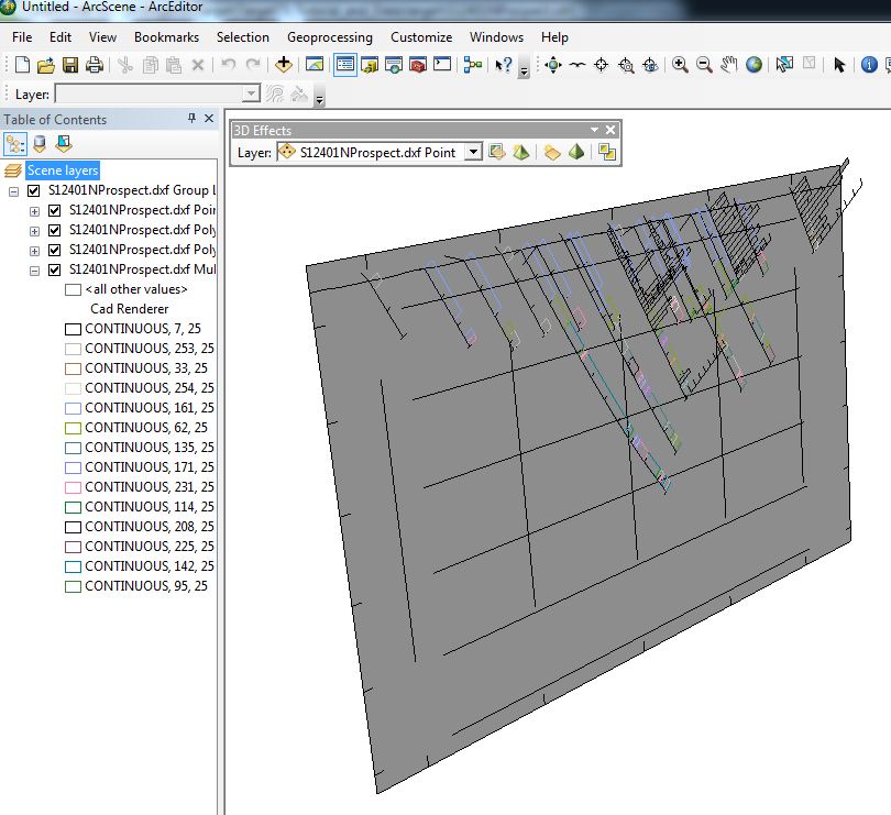
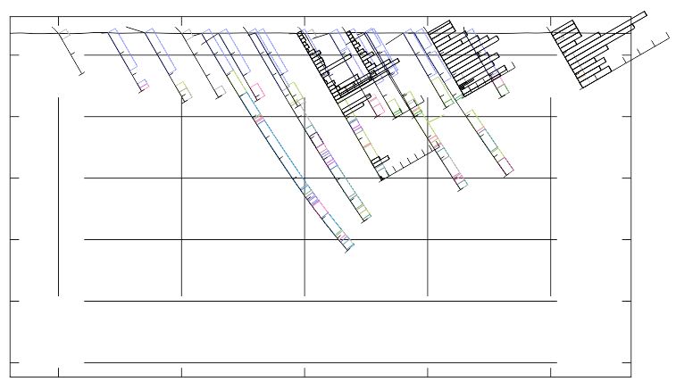
When I view the DXF in ArcScene it displays fine but it is "correctly" vertically projected and again lacking text annotations due to ArcScene limitations. When I open the file in ArcMap, the section does contain the annotations but it is "correctly" viewed in "plan view".
Bellow is the original section as it appears in Target as well as screen captures showing how the exported 3D DXF is handled byt the various other applications I have at my disposal (ArcScene, ArcMap and CorelDRAW) I also have Leapfrog Mining but have just installed it so I am not up to speed with this software yet but if anyone knows of a way to utilize Leapfrog please feel free to provide suggestions.
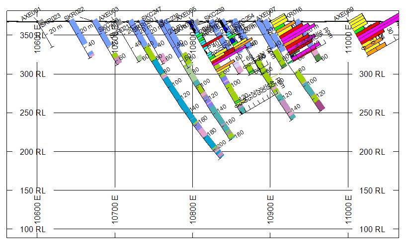
Original Section in Target:

Exported DXF in ArcScene:

Exported DXF in ArcMap (You are basically seeing the section plan view):

And finally DXF in CorelDraw (would be usable but not perfect as it would require a lot of manual work. and.. if it included text):

