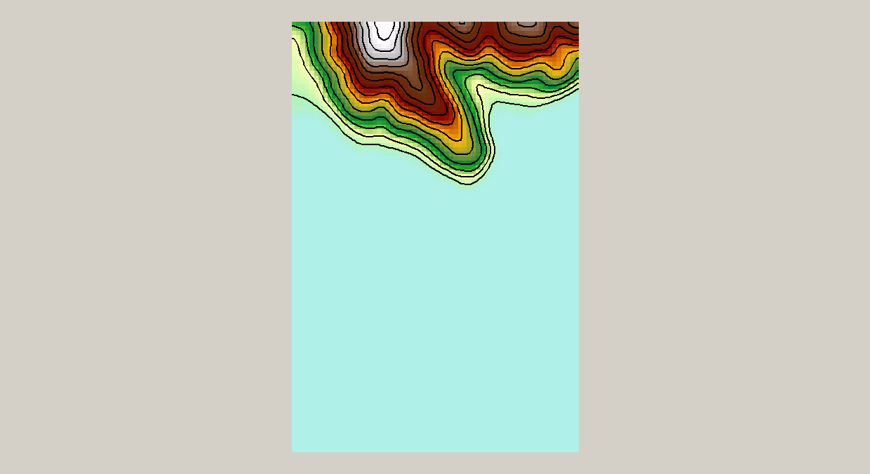
Can anyone help me convert .xyz file to a contours? I have recieved some .xyz files from the local council and am hoping to turn them into a terrain for 3d modelling. I have tried the ASCII to feature class but the points do not appear on my map (geolocated and all).
I have emailed the council and am waiting to hear back whether or not they have .dem files but would rather work out how to do it myself.
I have attached the .xyz file so someone may be able see if the data is in the correct format for importing.

