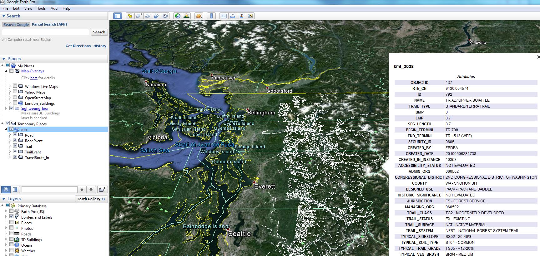
I have some US Forest Service GIS data which is a set of roads and trails an Accesss Database, also commonly referred to a GeoDatabase or a Personal GeoDatabase. Its a standard Access MDB File. From a little browsing it appeears to be binary blobs (proprietary?) surround by a bunch of descriptive fields.
You can download the same data here: http://www.fs.fed.us/r6/data-library/gis/mtbaker-snoqualmie/ It's Transportation.zip
I woudl like to convert this data to KML so I can open it in Google Earth. I've spent the better part of a day searching to no avail.
Anyone have a script or a pointer to a better place to ask?

