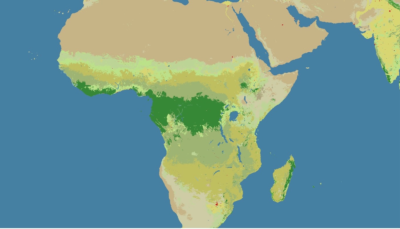
I have a land cover image and I segmented it. Since the images are large in size, I am uploading only a part of them. here is the original image's part :
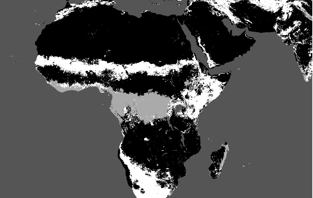
here is the corresponding segmented image:

I used K-means clustering algorithm to achieve segmentation. Now I want to extract different regions marked with same intensity in the segmented image so as to classify it for the land cover. Is it possible to extract different regions directly from the segmented image (if possible in the form of polygons) to classify them.
Please help me with a source/link or a way on how to do it or atleast begin with it. P.s I work on Python
