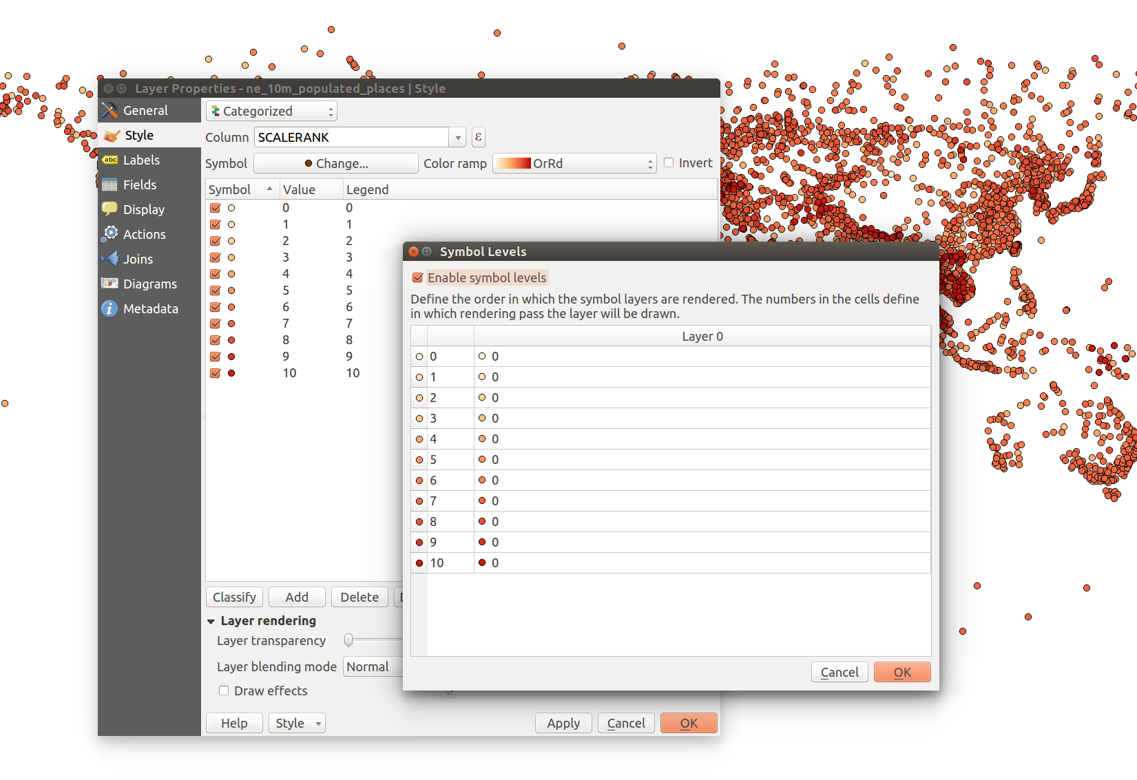
I'm new to GIS and have been learning a lot over the last few weeks, however, I've finally come to a point where I could use some help.
I'm working with the pdx_streets data-set from http://www.civicapps.com, which doesn't include a z-layer or elevation relating to the rendering order for ramps, overpasses, tunnels, bridges, etc.
This data-set does include F and T ordinal values(-2 to 5), which can be applied as a work-around; but what is the best way to apply this?
Currently, I have all of the street styles entered, one solution would be list each value and apply using the render order, however, this would create a lot of duplication for each style.
QGIS 2.10
Metadata: http://www.portlandmaps.com/metadata/index.cfm?&action=DisplayLayer&LayerID=52058
OS: Ubuntu 14.04

