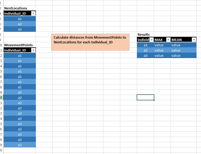
I have two point layers. One contains nest locations. The other contains movement points for the individuals being tracked. Both tables have a individual id parameter (one nest per id, many movement points per id).
I want to create a script (ModelBuilder preferred) that will generate a table (or update the nest table) to show the maximum distance and average distance between an individuals nest and the movement points from the other table.
So far I've tried using the PointDistance tool to create a table of distances from the nest to the points. Then I've had to manually get the max and average. As I have to rerun this often, I'd like to have the script automatically get the max and average and update the table or create a new table with one row per nest ID showing the max and averages.
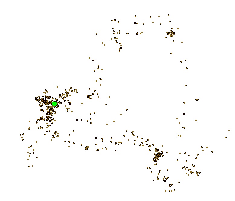
The first image is a basic table layout and what I'd like in the output. There is really no relevant data in the tables other than the ID for the individual. I'm also including an image showing a sample nest point (in green) with the movement points for that nest ID.
I am using ArcGIS 10.4.1. License type: Advanced.


