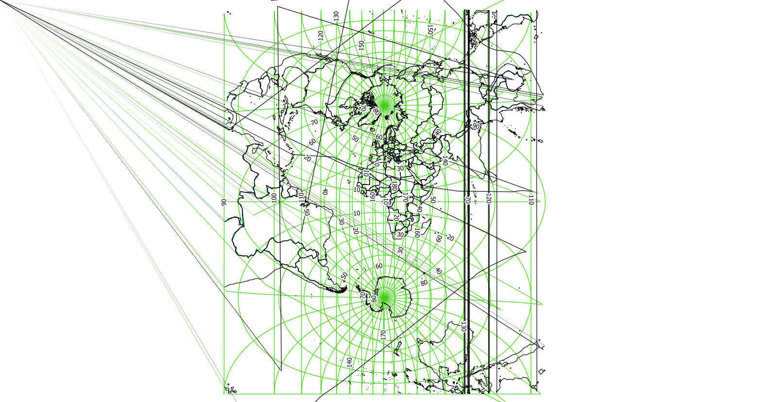
My QGIS project has four vector layers, three of them are from the NaturalEarth dataset (countries, regions and ocean layer). The other two are shapefiles for plant locations and plant names. Whenever I enable on-the-fly transformation from wgs 84 to the respective UTM 33/34/35N for the Scandinavian countries, and activate the country and ocean layer, the project crashes and a minidump is created.
The program doesn't crash when only the region layer is activated. I usually set a style filter on the Region layer according to the country I am working on. I am having this problem only for countries like Finland, Sweden and Norway. For other countries, I was able to produce a raster image from the print composer with all layers activated without any issue. I was also able to change the project CRS to the respective UTM.
I am using the 2.18 standalone version of QGIS.

