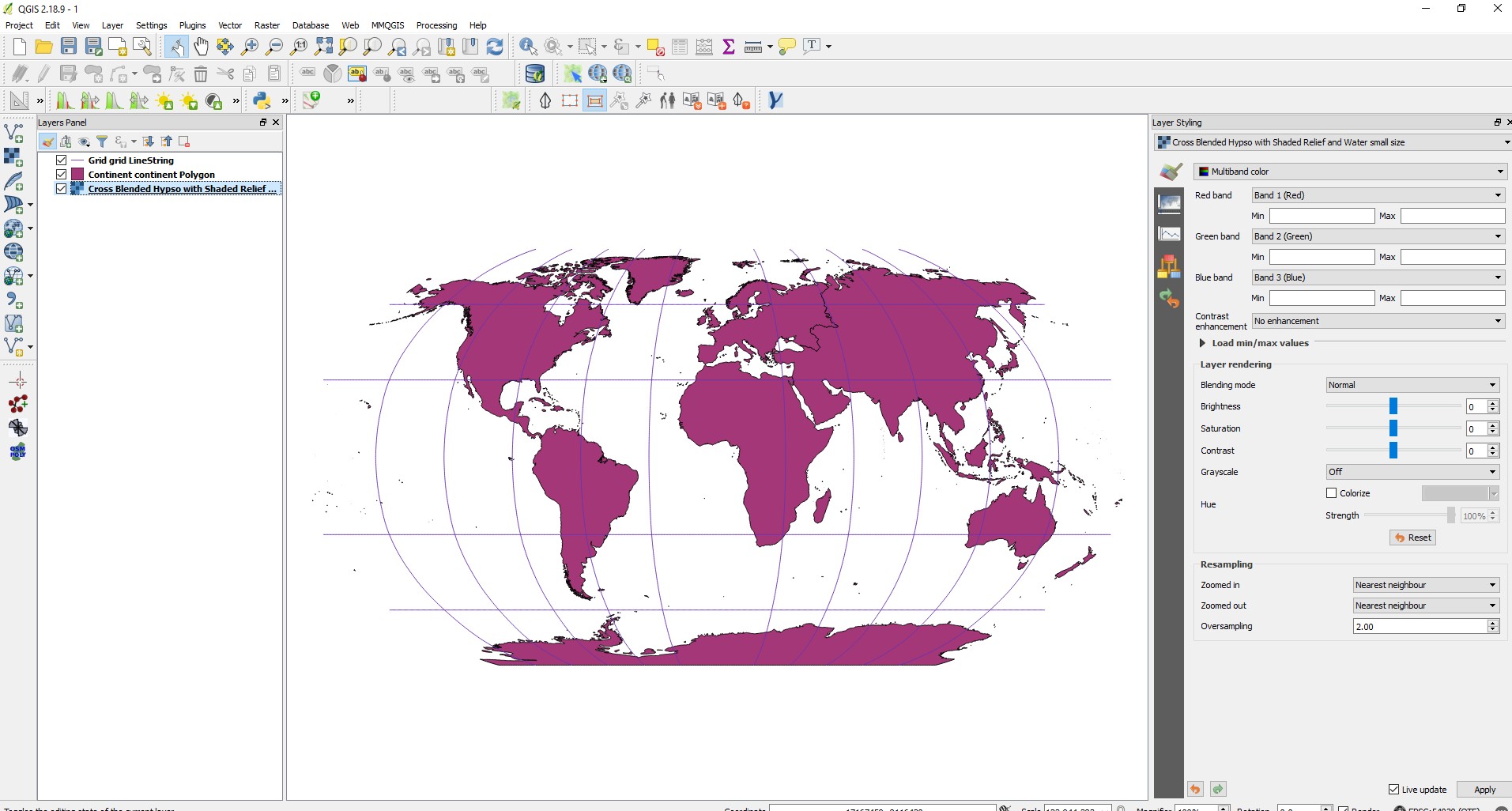
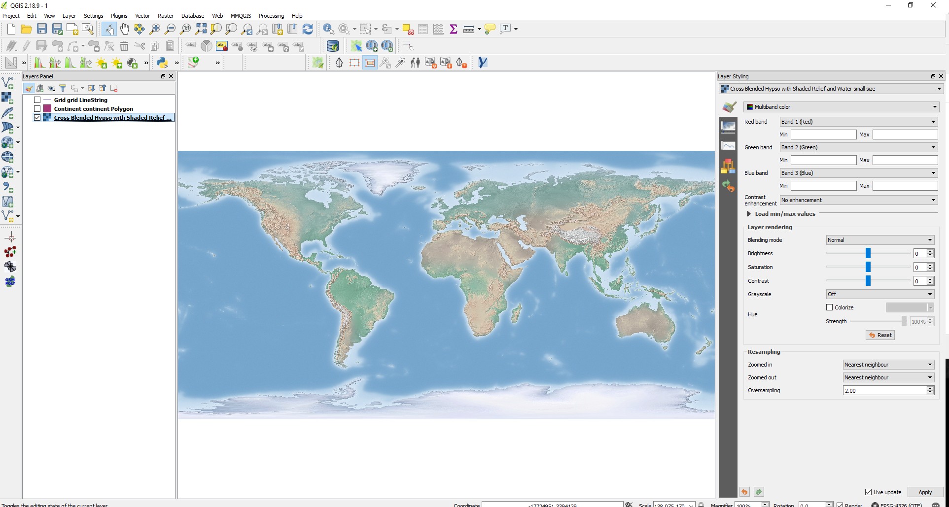
Reading your linked Q/A...well, I get the impression that you slightly screwed up your projections here... ,)
My suggestion:
- get a fresh copy of your data and check the websites for the data's
metainfo on it's CRS
- if QGIS asks you on import, set it to THAT projection, if not,
leave it
- set QGIS' on-the-fly-reprojection (NOT the layer's CRS!) to 'world_robinson' (EPSG: 54030) and you should see all layers with a spherical appearance
Why? That data is stored with it's defined projection when you download it. To change that, one need to (mathematically) transform that projection, not simply set it to another one (like you seem to have done, based on your linked Q/A). If you simply set it to a wrong projection, it alters the data's CRS metadata and the layer will most certainly show up at a wrong position.
QGIS offers a flexible on-the-fly-reprojection, which will display all layers in the specified projection wihtout touching the data's CRS.
Reproducing what you have done to the data's CRS would take longer than simply downloading a fresh copy I reckon...
Try it.


