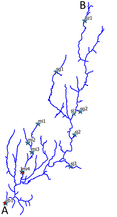
I have got a vector layer with one feature (MultiLineString) representing a river network (s. below) without bifurcations. In addition there is a point shapefile containing the outlets of different subcatchments and one polygon for each of them.
Example: in the following image, the length should be from A (outlet, point in shapefile) to B (should be found automatically). As the point at A is not exactly on the line, an ideal solution would replace the outlet onto the line.
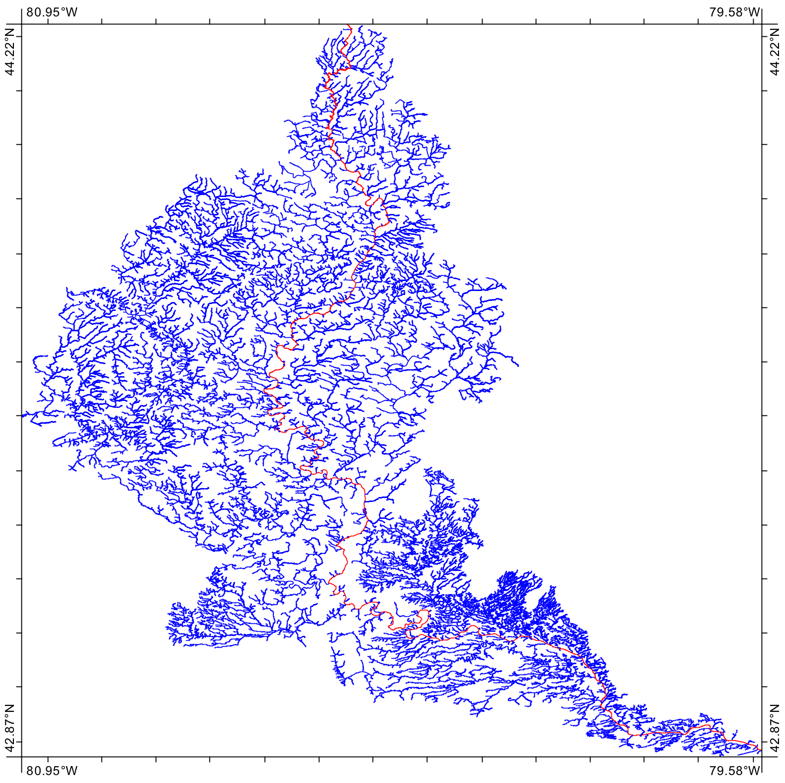
Is there a simple way to calculate the longest flow path (one single branch) in QGIS? The final goal is to have one length for each subcatchment.


