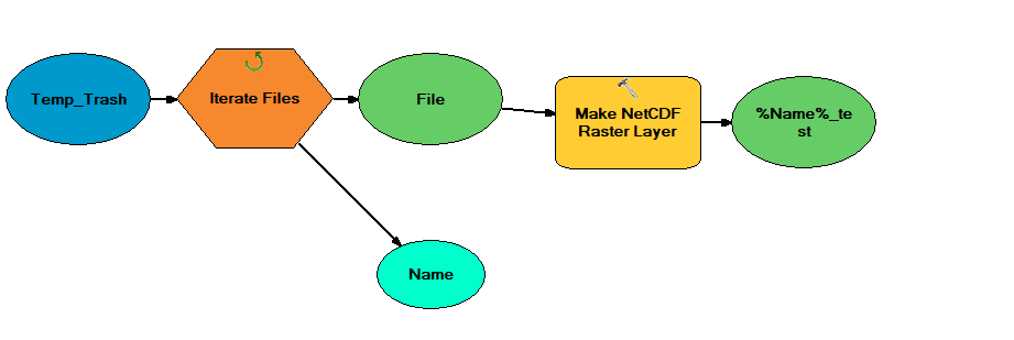
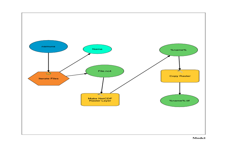
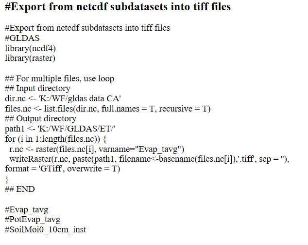
I am attempting to iterate through thousands of .nc files to convert them into geotiffs using the Make NetCDF Raster Layer tool. I am using ModelBuilder to accomplish this. The iterator works fine, but there is no option in the tool to export as geotiff. Presumably because when you use the tool on individual .nc files it adds the raster into the table of contents, and from there you can make the decision to export. This works fine when you're converting one or two files, but not thousands.
In ModelBuilder, how might I export each .nc file as a geotiff after each iteration?
Tools such as Copy Features or Raster To Other Format don't work because I can't use the Make NETCDF Raster Layer's outputs as inputs to these other tools.
What am I missing?
Below is a picture of my model.


