1

I have a raster map that needs to be defined in 2 different coordinate systems. I added control points to my unprojected map and rectified it. It's OK for the first coordinate system. (European datum ed50 30 3).

Now, I want to project this raster to ed50 30 6. So right click to my raster under catalog | properties | spatial reference tools, and I choose new projected system and click ok.

When I restart ArcGIS, adding my new raster, the coordinate system doesn't change. Projection is listed as (ed50 30 6) but the map location doesn't change (I can understand from grids on the map it still has same coordinates)

Am I skipping some steps?

1

2 Answers 2

2

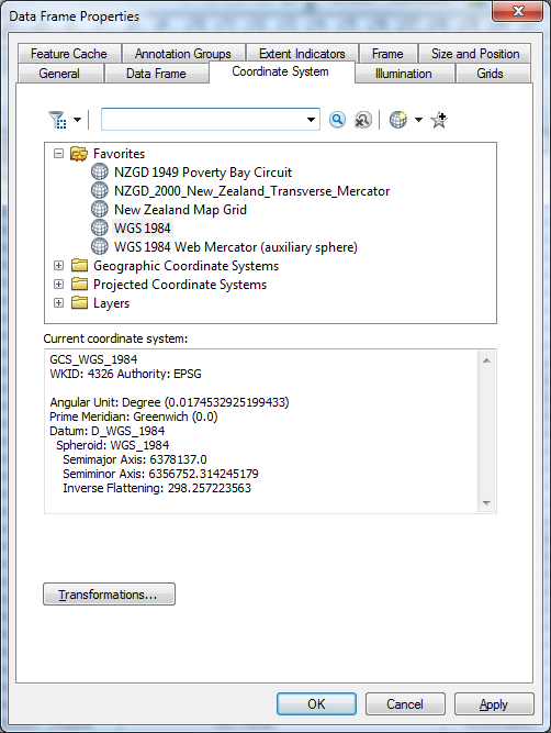
I assume that you are not loading it into the same map document as the original projection was defined from. As the Map Data Frame Properties retain the projection from the original data. of course to can transform the data, but you can also project the data on the fly. Right mouse click TOC Layers| Properties ,Data Frame

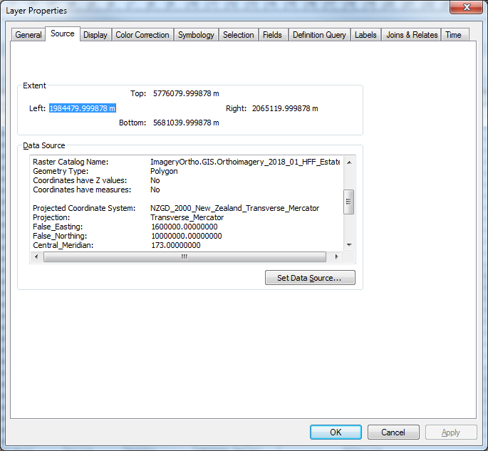
But the data can still exist with it's new projection: Data at a different projection from the Data Frame

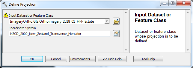
The two tools to Project the data are "Define Projection" (if the data projection wasn't defined initially): enter image description here

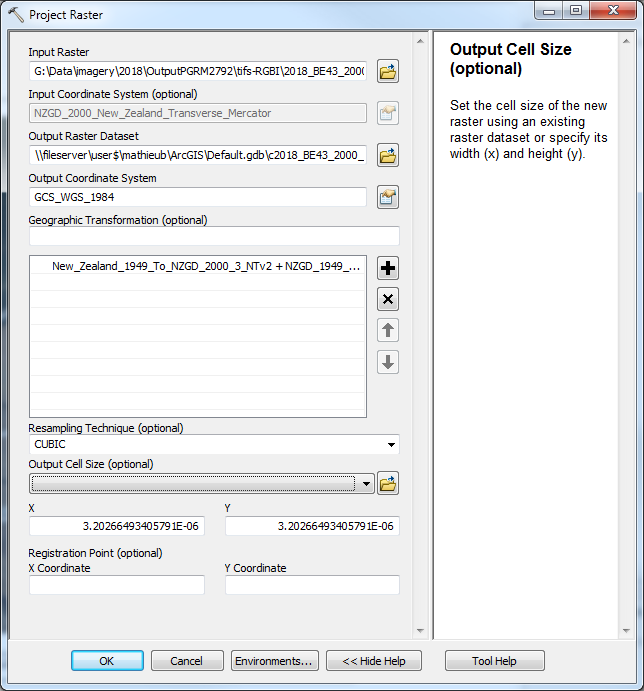
And Project Raster to project from one Projection to the other to permanently keep a second copy of the data in the new projection: enter image description here There may also be the Resampling Technique set to Bilinear or Cubic for continuous data. And if known a Geographic Transformation PARAMETER see image above

1

Use the Project Raster tool, found in the Data Management toolbox. If you follow the steps you described, it's "defining" the coordinate system instead of mathematically transforming the map into the new coordinate system.

Your Answer

By clicking “Post Your Answer”, you agree to our terms of service and acknowledge you have read our privacy policy.

Not the answer you're looking for? Browse other questions tagged or ask your own question.